
PILOT NETWORK
Your region. Our pilots.
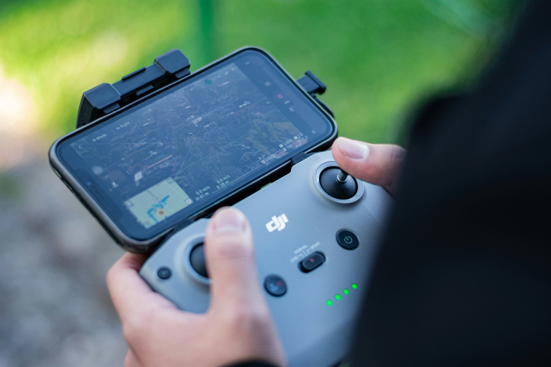
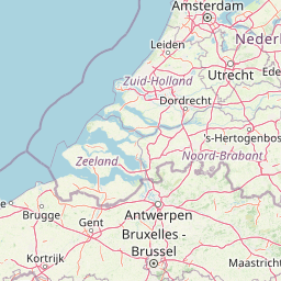
From West Flanders to South Holland. Certified pilots who scan your field with the DJI Enterprise Multispectral.
ACTIVE PILOTS
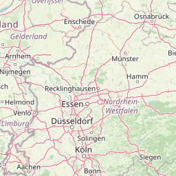
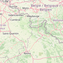
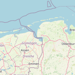
Find a pilot near you.
Click a marker to view the pilot.
BECOME A PILOT
Join our pilot network.
We connect you with farmers and contractors in your region who need scans. You fly , we handle the analysis and delivery of the task map.
WHAT YOU NEED
Two things to get started.
The right drone
An RGB drone with RTK positioning. We fly with the DJI Mavic 3 Enterprise or Multispectral , cm-accurate images that translate directly into weed maps.
EU pilot license
Categories A1, A2 and A3 , European regulation that applies in both Belgium and the Netherlands. Most farm flights fit within A3 (far from people), with A2 for transition zones.