
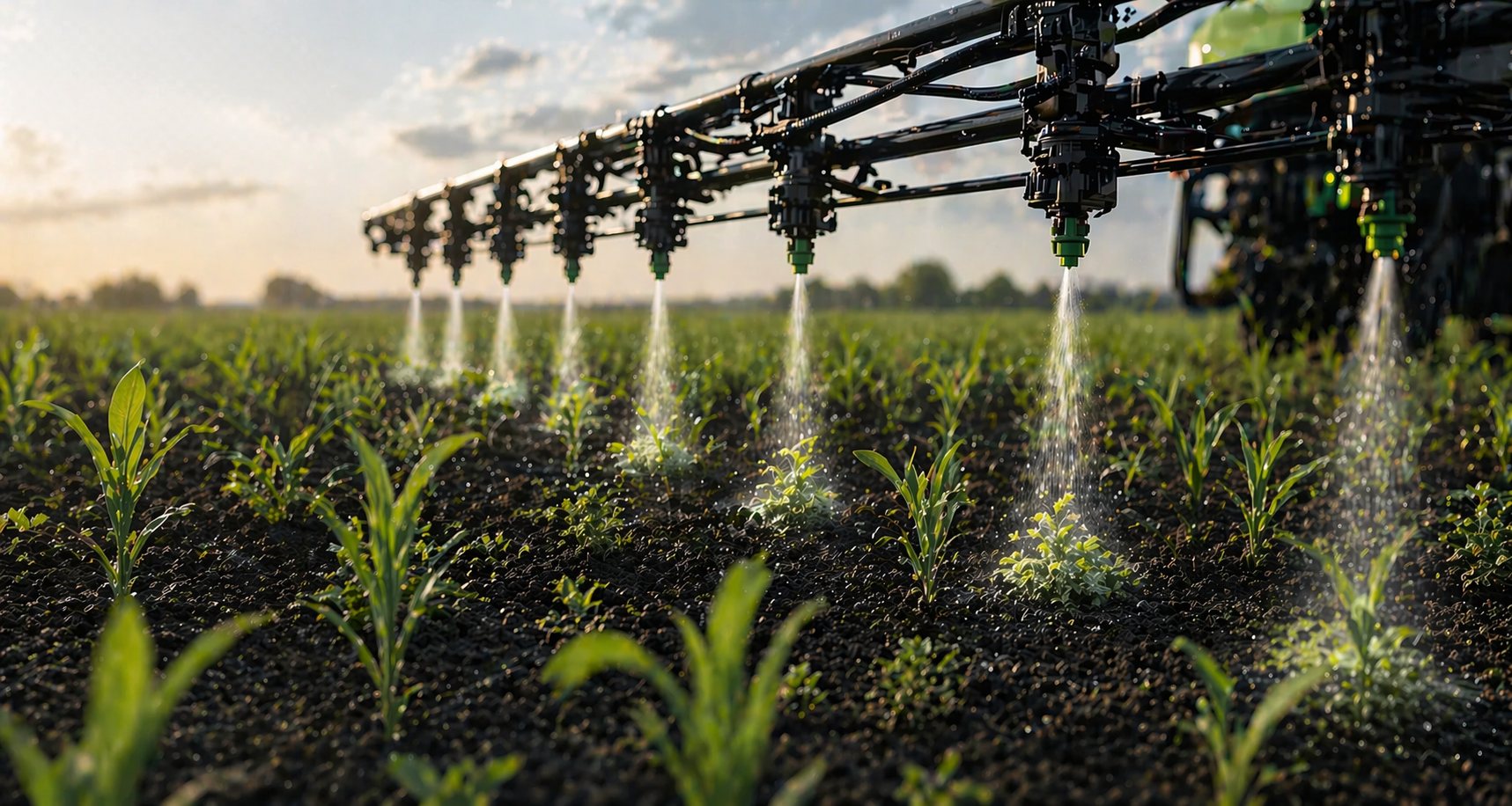
From aerial image to task map.
No complex software. You fly, we analyse, your sprayer acts.
The drone flies autonomously over your field
You set up the field via the Croptic app. The drone automatically follows an optimal flight pattern and captures high-resolution RGB images.
Our AI detects weeds from ± 3 cm
The images are processed by our detection model. For each plant or cluster we determine location, species and density. The output is a georeferenced task map in a standard format.
The task map is ready within 48 hours
You receive the task map as a file that can be loaded directly into your sprayer. No conversion, no intermediate steps.
The sprayer only treats where needed
Based on the task map, the spray nozzles only activate above the weeds. The rest of the field remains untreated. Even with wider section control you save significantly , the more precise the machine, the bigger the savings, but even older sprayers make it worth the effort. Result: up to 95% less product.
Two ways to plug Croptic into your business.
Fly yourself
- One-off investment in a suitable drone with RGB camera and RTK GPS.
- You fly your own fields whenever it suits you.
- Full control over timing and availability.
- Scalable to multiple contracted clients.
Via our network
- No investment in drone hardware.
- You use our certified pilots in your region.
- Croptic schedules the flight, the pilot carries it out. You only need to share the field.
- Scales with the area you want to cover.
No new sprayer. No new software.
Croptic is a data layer on top of what you already run.
DJI Mavic 3 Multispectral.
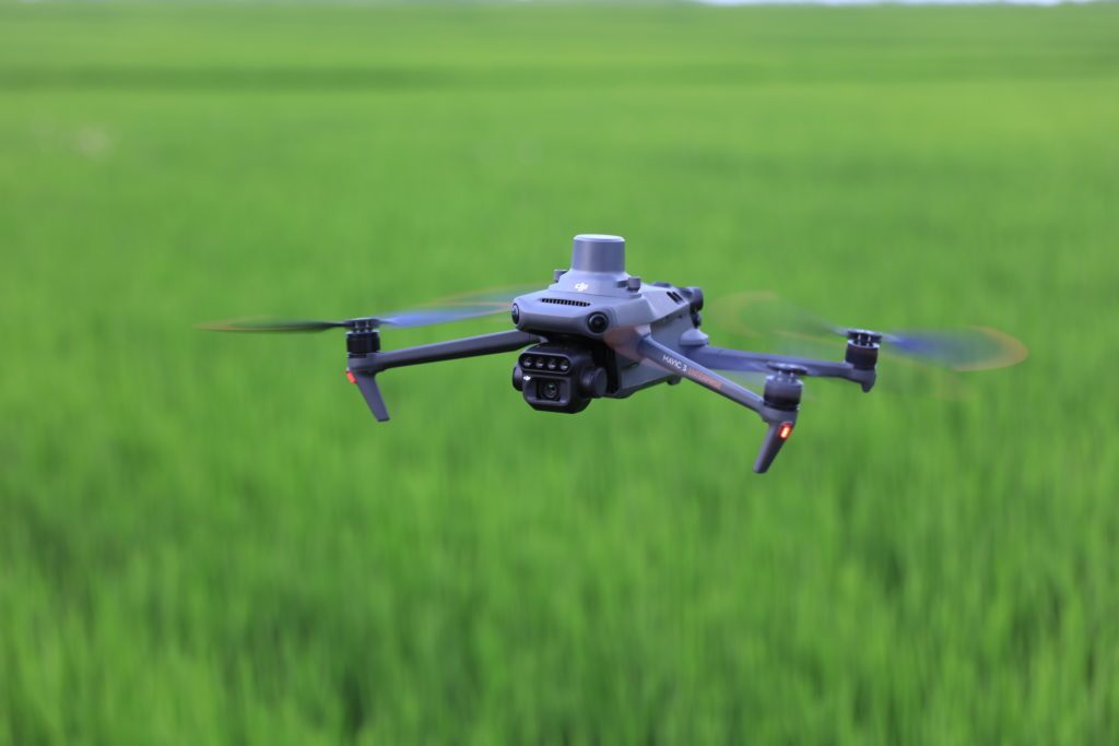
The drone we recommend for reliable imagery.
To fly a field, we recommend the DJI Mavic 3 Multispectral. This drone delivers images with 2-3 mm/pixel resolution at the flight altitude Croptic needs for accurate weed detection.
The drone flies automatically via the DJI Pilot 2 app in a grid pattern over the field. The drone covers on average ~15 ha/hour depending on field shape and flight altitude.
- DJI Mavic 3 Multispectral (incl. RC Pro controller)€4,779
- DJI Mavic 3 – Battery kit€699
- Total starter package€5,478
Prices are indicative and exclude VAT. Consult an authorised DJI dealer for current pricing.














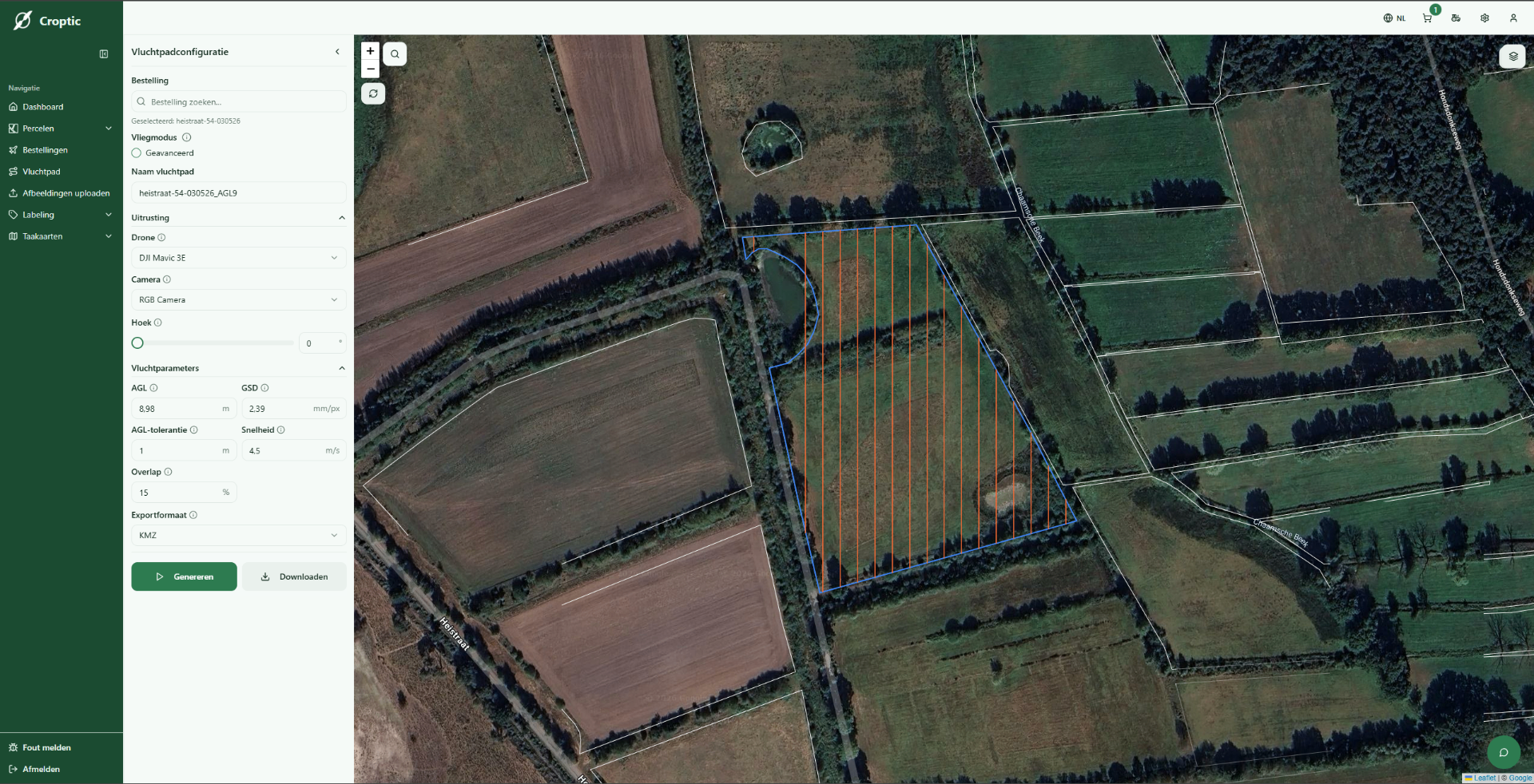
One platform. From flight map to task map.
Select your field, generate your flight map, upload your photos and download your task map. All in the browser, no installation, no training, no hassle.
Frequently asked questions
Many questions aren't about the technology, but about how it works in practice in the field. That's why we answer here the questions we hear most often from contractors and farmers.
Croptic turns drone images of fields into task maps for spot spraying. You can see where weeds are and target your spraying instead of treating the entire field.
No. You don't need to own a drone yourself. The field flight can be carried out by a drone partner or a contractor from our network.
Croptic is designed to be practical to use on existing sprayers. You don't have to wait for a completely new setup to start spraying more precisely today.
Yes , that's often the best way to start. You'll see right away how the analysis, task map and execution work in practice on your own fields.