How it works
From drone imagery to task map
01
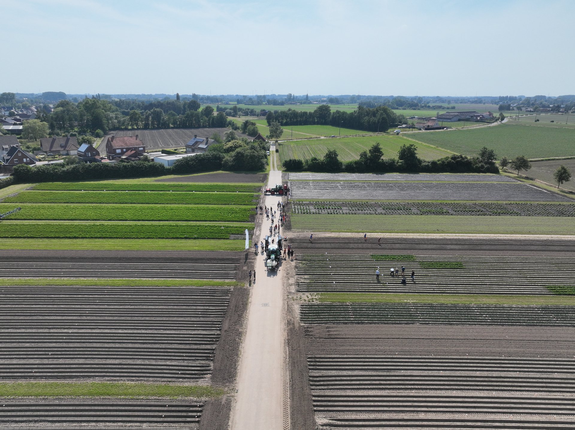
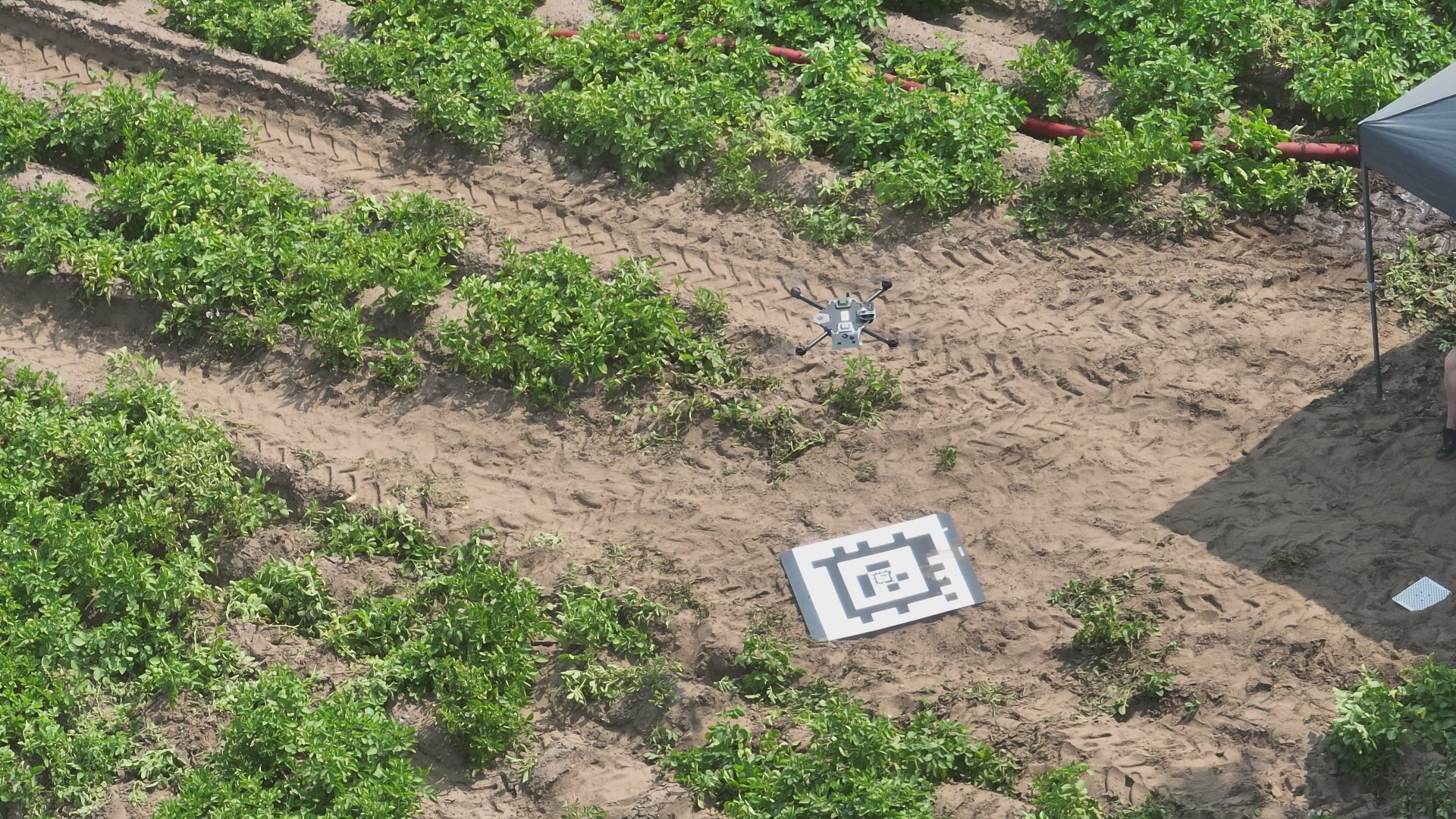
A drone flies over the field
A drone with a special camera captures multispectral images of the entire field.
02
AI detects the weeds
Smart software analyses the images and sees exactly where weeds are present.
03
Task map to the sprayer
Croptic creates a digital map that tells the sprayer where to spray and where not to.
Benefits
Spray less. Better results.
95%
less crop protection product
higher crop vitality
less impact on the environment and water quality
Objective
Making spot spraying widely accessible
Inagro wants to encourage farmers to use task maps for site-specific spraying. They also help spraying contractors invest in drones and adapt their sprayers, so they too can work more precisely. The goal is to make the spot spraying technique, where only weeds are sprayed, widely known and applied throughout the region.
PROMOTER
Inagro
CO-PROMOTER
Croptic
TOTAL PROJECT COST
€183.050,00
GRANT RECEIVED
€91.525,00
DURATION
01/08/2024 - 31/07/2027
FUNDING BODY
Vlaanderen - Departement Landbouw en Visserij
Images from the project
With the support of