Drone
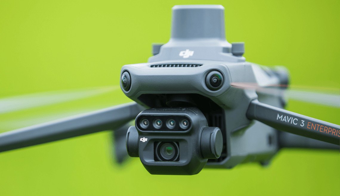
DJI Mavic 3 Multispectral.
The drone we recommend for reliable imagery.
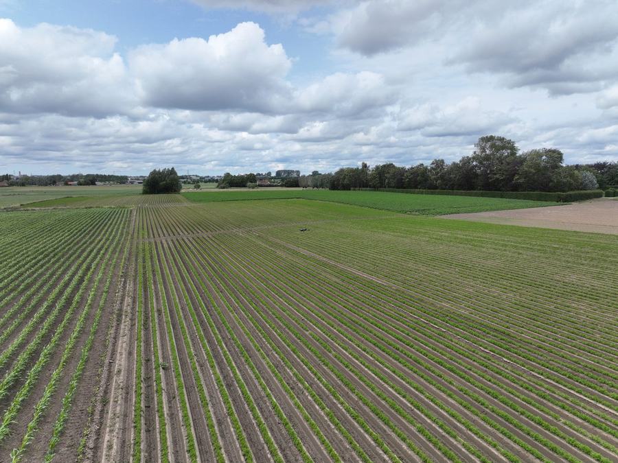
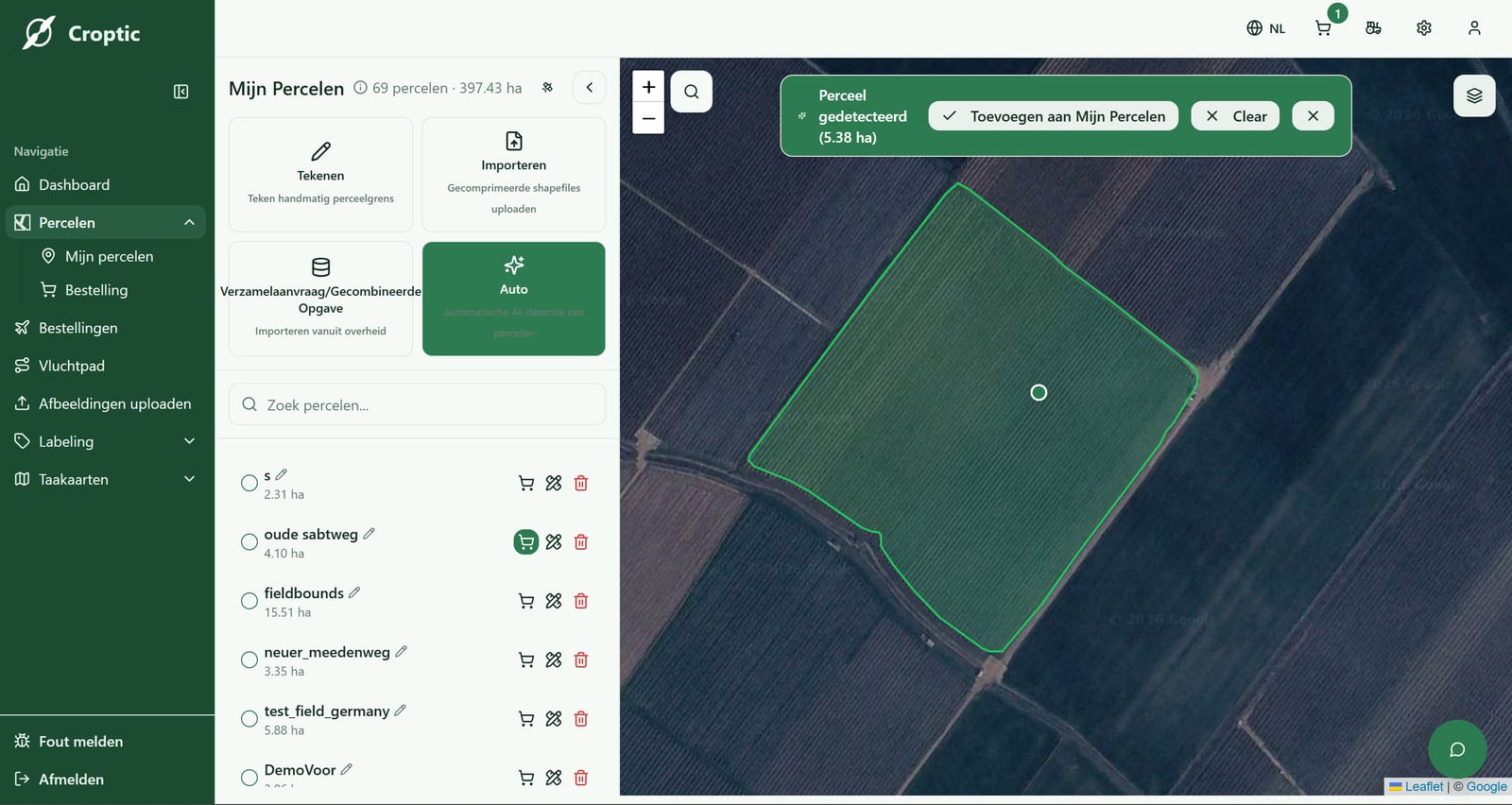
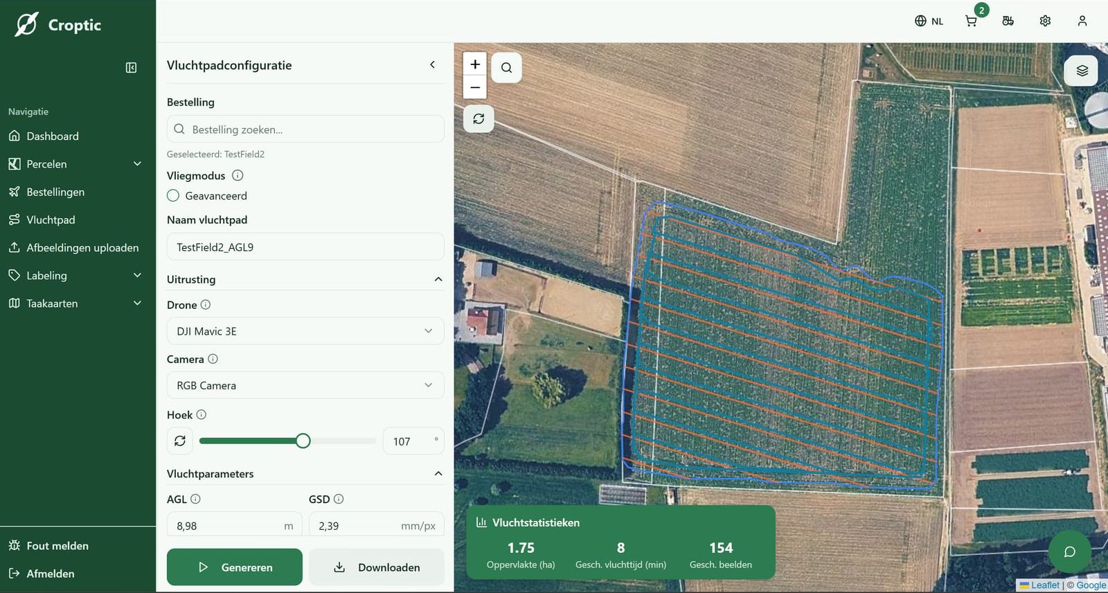
For a task map every image has to sit on the map to the centimetre. Only RTK gets you there, and you need an RGB camera with a mechanical shutter. This drone has both on board and is the drone flying in our network. It flies a grid pattern automatically and covers about 15 hectares per hour, depending on field shape and flight height. Another drone works too, if it meets the same specs.
Estimated investment
Drone, RTK module, controller and spare batteries± €5,000
Indicative price including VAT, September 2026. Prices vary per dealer.