Spot spraying
Weed maps for your sprayer.
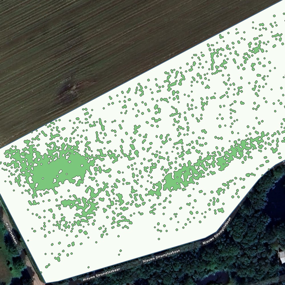
The drone scans your field, our AI detects the weeds and your sprayer opens the nozzles only above the weed patches. For sugar beet, potatoes, onions, cereals and grassland.
What we offer
Spot spraying
The drone scans your field, our AI detects the weeds and your sprayer opens the nozzles only above the weed patches. For sugar beet, potatoes, onions, cereals and grassland.
Variable rate fertilising
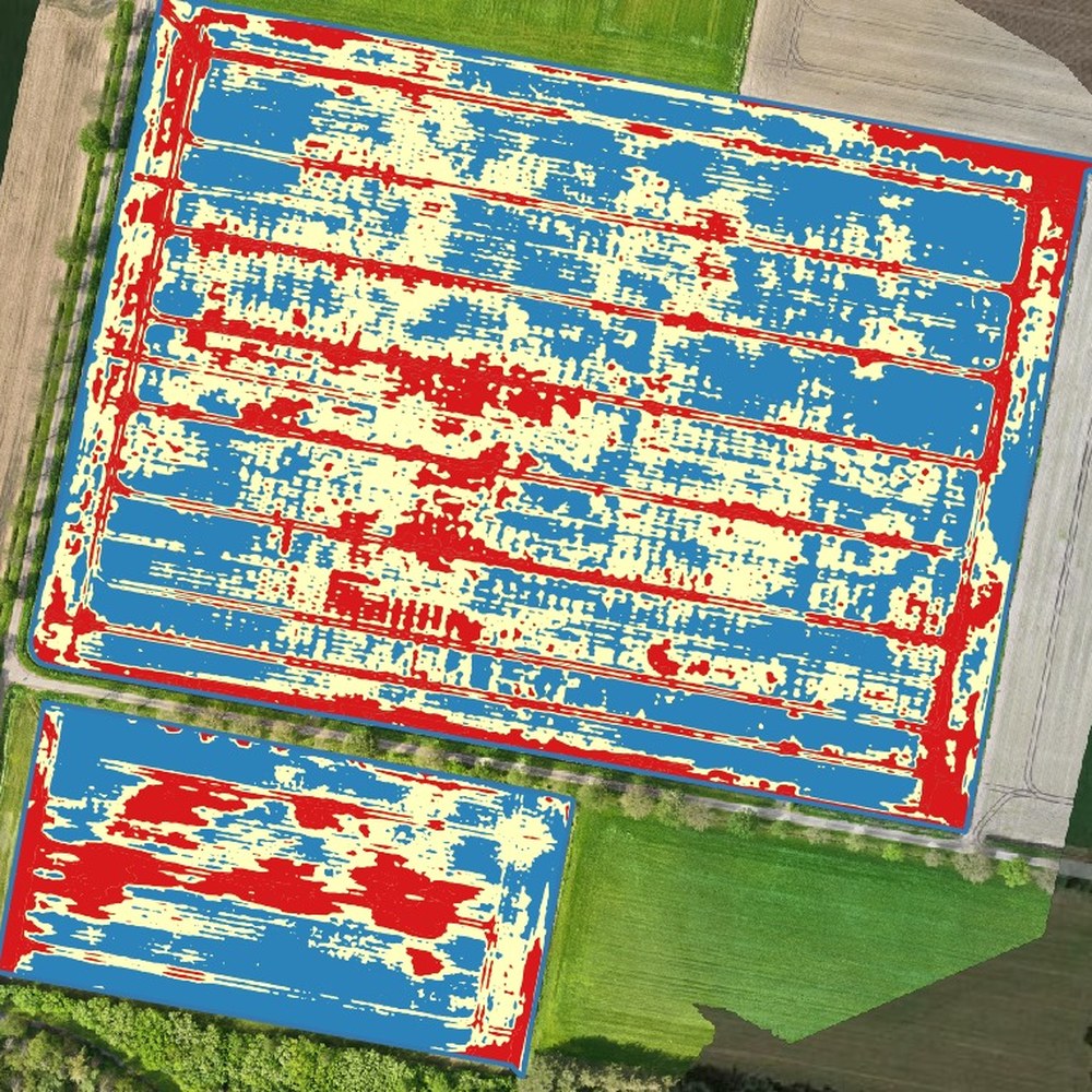
From the crop stand we build a fertiliser map in kg per hectare, with a base rate and zones around it. Delivered for potatoes, onions and red cabbage.
Haulm killing
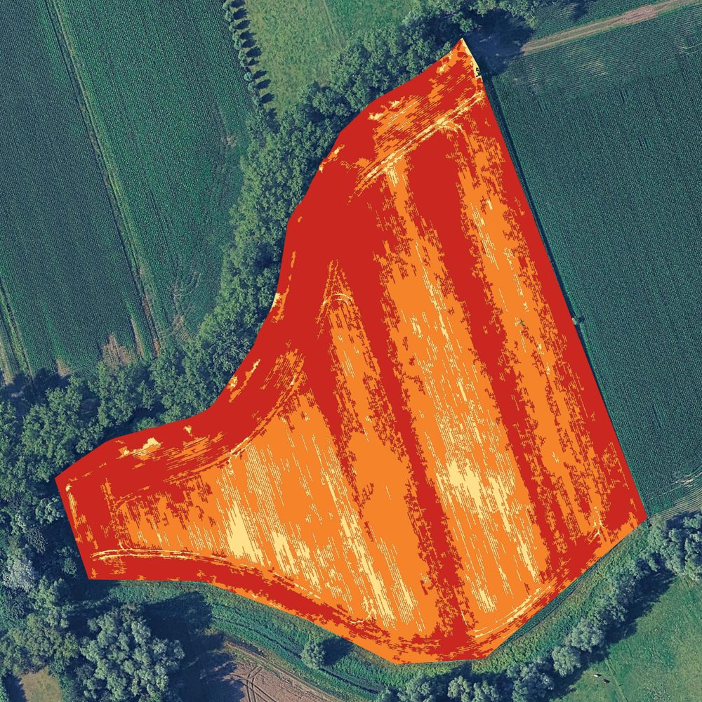
By harvest time part of the haulm has already died off. The drone sees which patches are still green and the task map sprays only there, instead of the whole field once more.
Weed patches
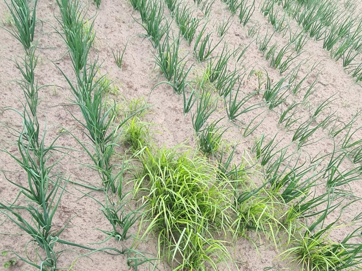
Some weeds grow in patches that get bigger every year, such as yellow nutsedge, but also thistles and dock. On the drone images those spots stand out between the crop, so you know where they are.
Send us your field and tell us what you want to know. We will say whether it can be done and what it costs.
With your consent we measure how the site is used. Without consent we measure nothing. Read our privacy policy.