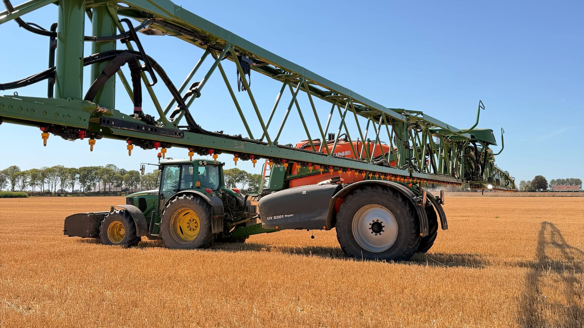
A tractor with an unfolded field sprayer on a stubble field.
How it works

From aerial imageto task map.

A drone photographs your field, our AI detects the weeds and your sprayer opens the nozzles only above the weed patches. With your own drone or with a pilot from our network.

Three steps. No new machine needed.

01

The drone flies autonomously over your field

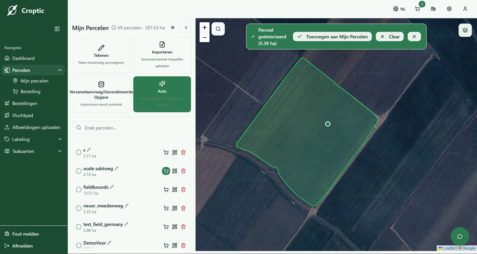
You set up the field in the Croptic app. The drone automatically follows an optimal flight pattern and captures high-resolution RGB images. Those images overlap, so every detail is covered and no weed falls between two photos.

Autonomous flightRGB imagery
02

Our AI detects weeds from about 10 cm

The images are processed by our detection model. For each plant or patch we record the position, the species and how dense it stands. You get a task map with coordinates in it, in a standard format. That tells your sprayer exactly where to open the nozzles.

± 10 cm weedSpecies recognition per cropGeoreferencing
03

The task map is ready within 24 to 48 hours

We prepare the map in the format your terminal reads. Put it on a USB stick, plug it into the terminal and drive. No converting, no figuring out.

Fits your terminalVia USB or the cloud24 to 48 hours
04

The sprayer only treats where needed

Based on the task map, the nozzles only open above the weeds. The rest of the field stays untreated. Even with wider section control you save considerably, the more precise the machine the bigger the saving, but even with older sprayers it pays off. Result: 86% less product on average, up to 95% at low weed pressure.

Up to 95% savingsAutomaticAll brands
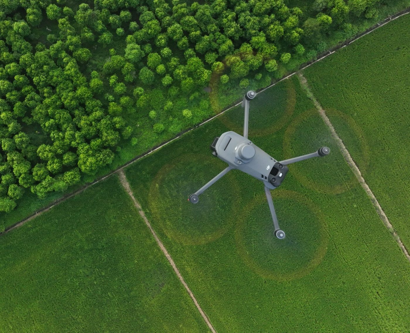
Controller with the flight map on screen, the drone behind it
Option 2

Fly yourself, whenever it suits you

With your own drone you scan your fields when it suits, and pay per scan.

  • You fly with your own drone
  • Scan whenever it suits you
  • Invest once, then pay per scan
What you need to fly yourself

Already flying? Then you can fly other farmers' fields too. See the network

As a farmer

You buy less product and leave less residue in soil and crop. From the headland you estimate the weed pressure, from above you see per zone how heavy it really is. The task map goes into the sprayer that is already there, whether you drive it yourself or your contractor does.

As a contractor

You offer task-map spraying as an extra service, on the machine you already have. A full tank covers more hectares, so you drive back to refill less often. After the season your customer gets a report per field with what he saved, and that is why he calls again next year.

Season 2025
hectares sprayed with a task map
1,500+
task maps carried out
300+
average saving
86%
euros saved on product
100,000+
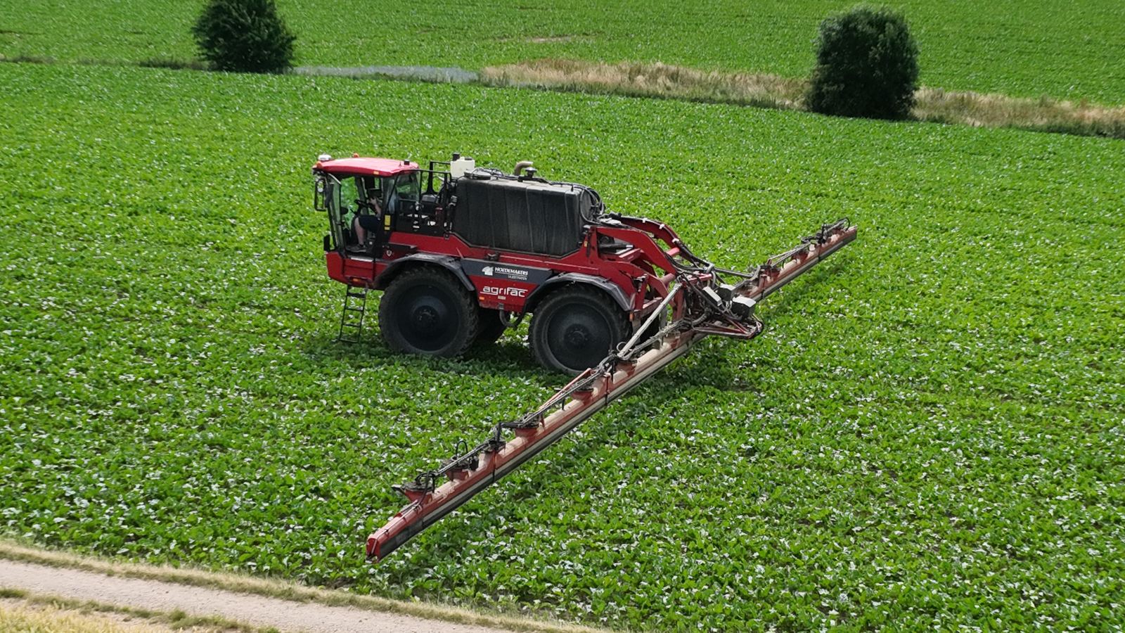
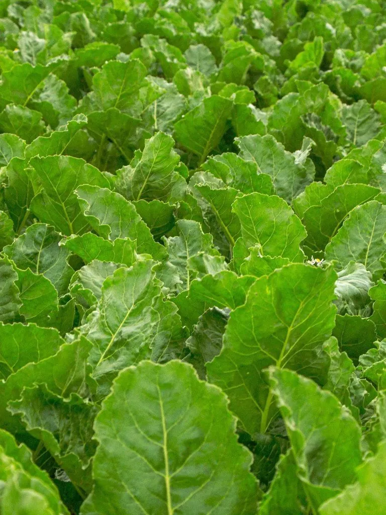
Field sprayer with a task map in a sugar beet field
“This year we used 60 percent less product on our beets, with the same yield.”

Pieter V., farmer, 180 hectares of beets and potatoes

Works on the sprayer you already have.

A field sprayer with GPS and section control, nozzle switching or PWM is enough. If your sprayer only has section control, the patches on the map are a little coarser and you save a little less. We tell you that up front. You pay per scan, per hectare, without a subscription.

Tested on
John DeereAmazoneHorschFendtKvernelandAgrifacHardiPTx TrimbleTopcon AgricultureMüller-ElektronikLACOSDelvanoRavenBeyneBBLeap

Everything in the browser.

Draw a field, download the flight map, upload photos, collect the task map. On the PC or on your phone, without installing anything. Your contractor or pilot sees the same fields as you.

The account with a field drawn on the map

Does this work in my crop?