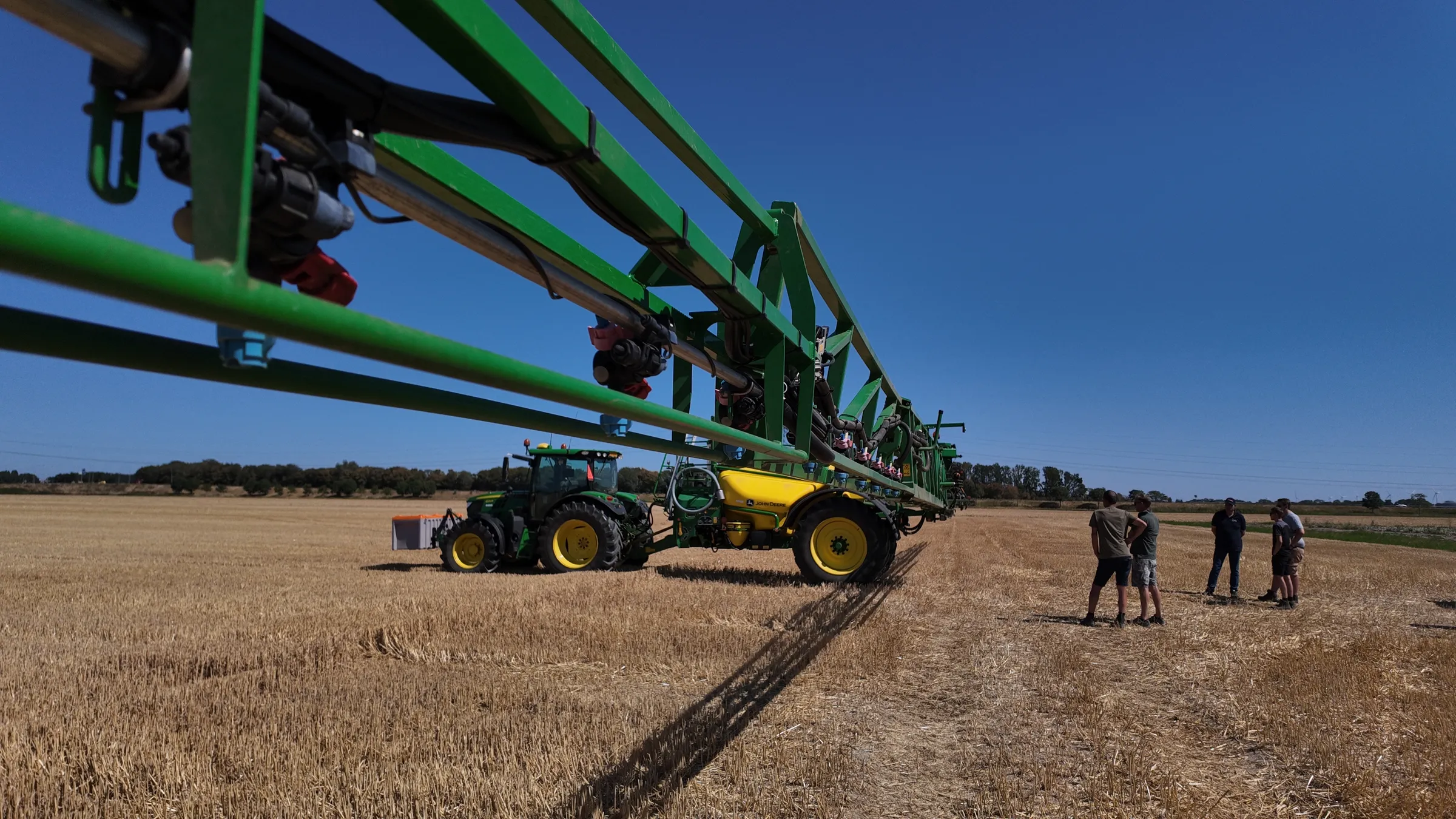
Spray only where necessary. Same result, less input.
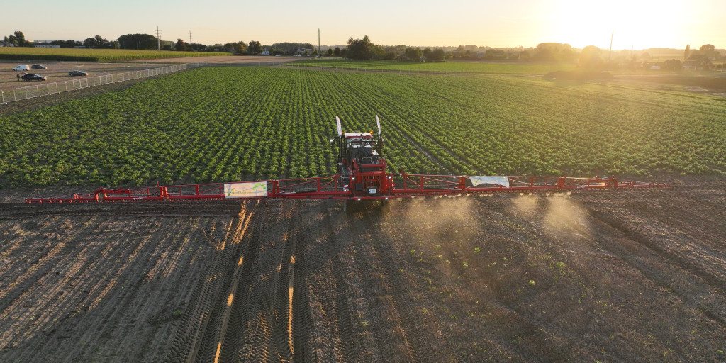
Croptic delivers a weed map per field based on drone imagery. Your existing sprayer does the rest. Up to 95% less crop protection product compared to a full-field spray, 86% on average across our fields in 2025.
THE REALITY
You spray 100% of your plot, while weeds cover only 10-20%.
Today you spray your entire plot as a precaution, because you don't know exactly where the weeds are. You use products in places where there are no weeds. You pay for litres and your crop gets residues that simply weren't needed.
Average weed coverage
of the plot actually infested, often in zones, not spread across the entire field.
HOW IT WORKS
Four steps, and you're driving with a task map.
You use what you already have.
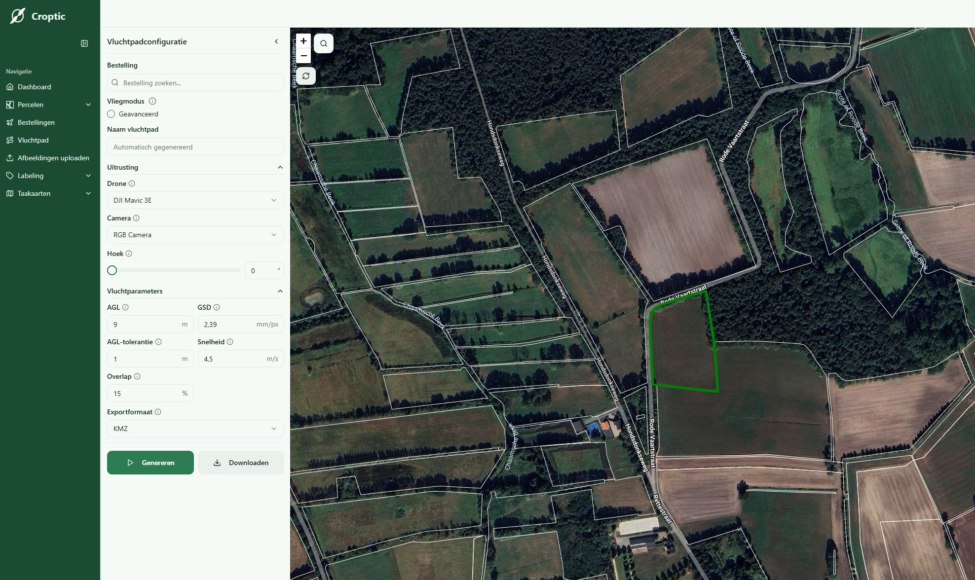
Draw your fields
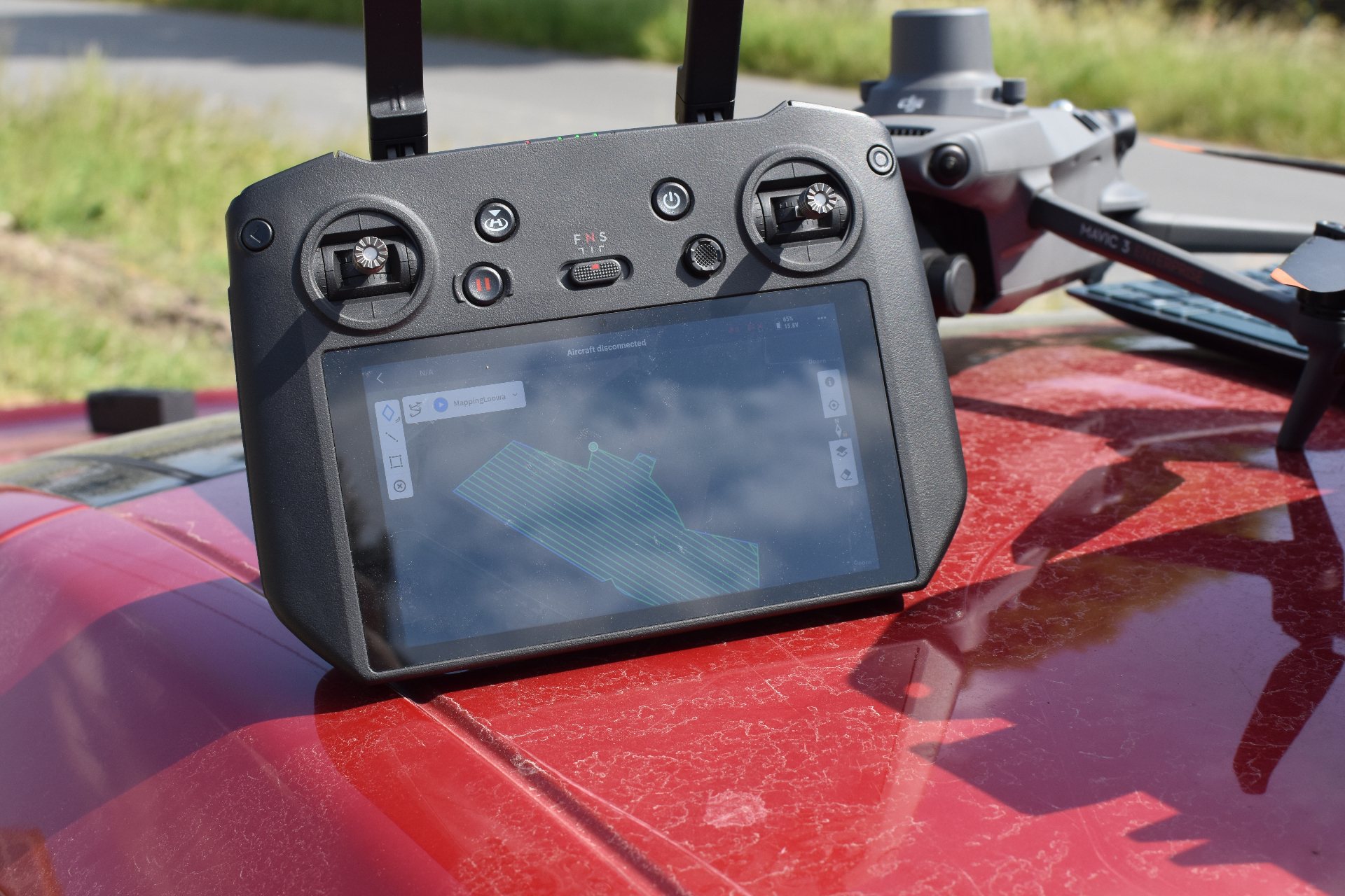
Open Croptic, draw or upload your field boundaries. With that, the platform generates the flight map for the drone to follow. You download the map and load it onto the drone.
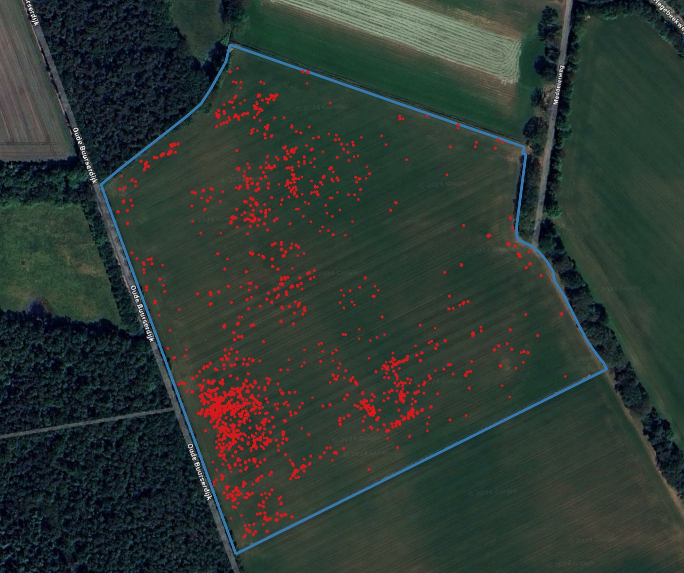
Receive your weed map
After the flight, Croptic analyses the images and delivers a weed map 24 to 48 hours after flying. You load it onto your sprayer and you can drive, with a smarter field sprayer than usual.
Your own drone, or via our pilot network
You choose. Many arable farmers start through our network (no investment) and then buy their own drone. Both work, you pick what fits your operation.
Show the savings
At the end of the season, Croptic has tracked per field how much product was saved. You get that report in hand. "We used 88% less product on your field": those are figures from your own fields.
Crops
Proven on the crops that matter.
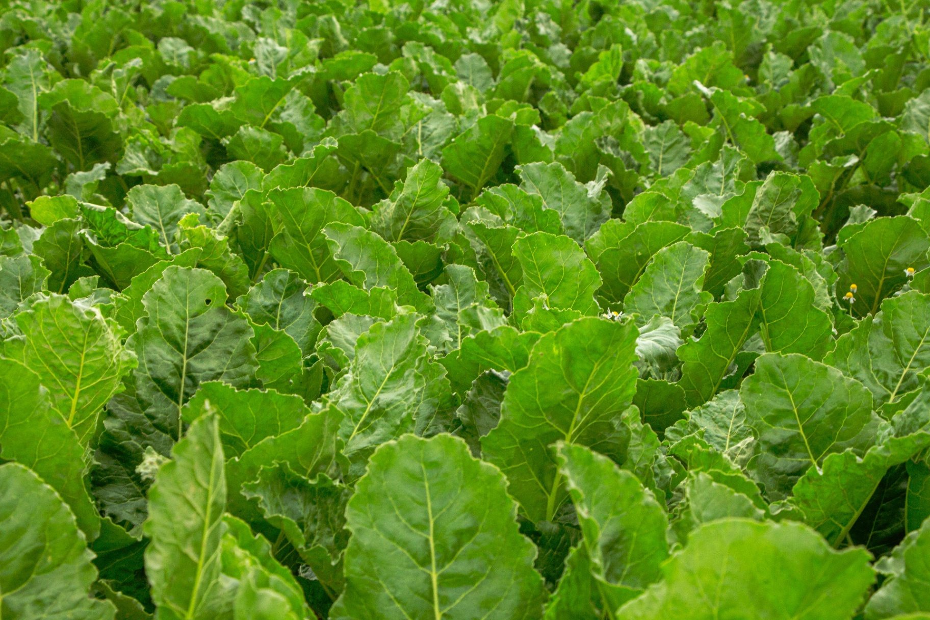
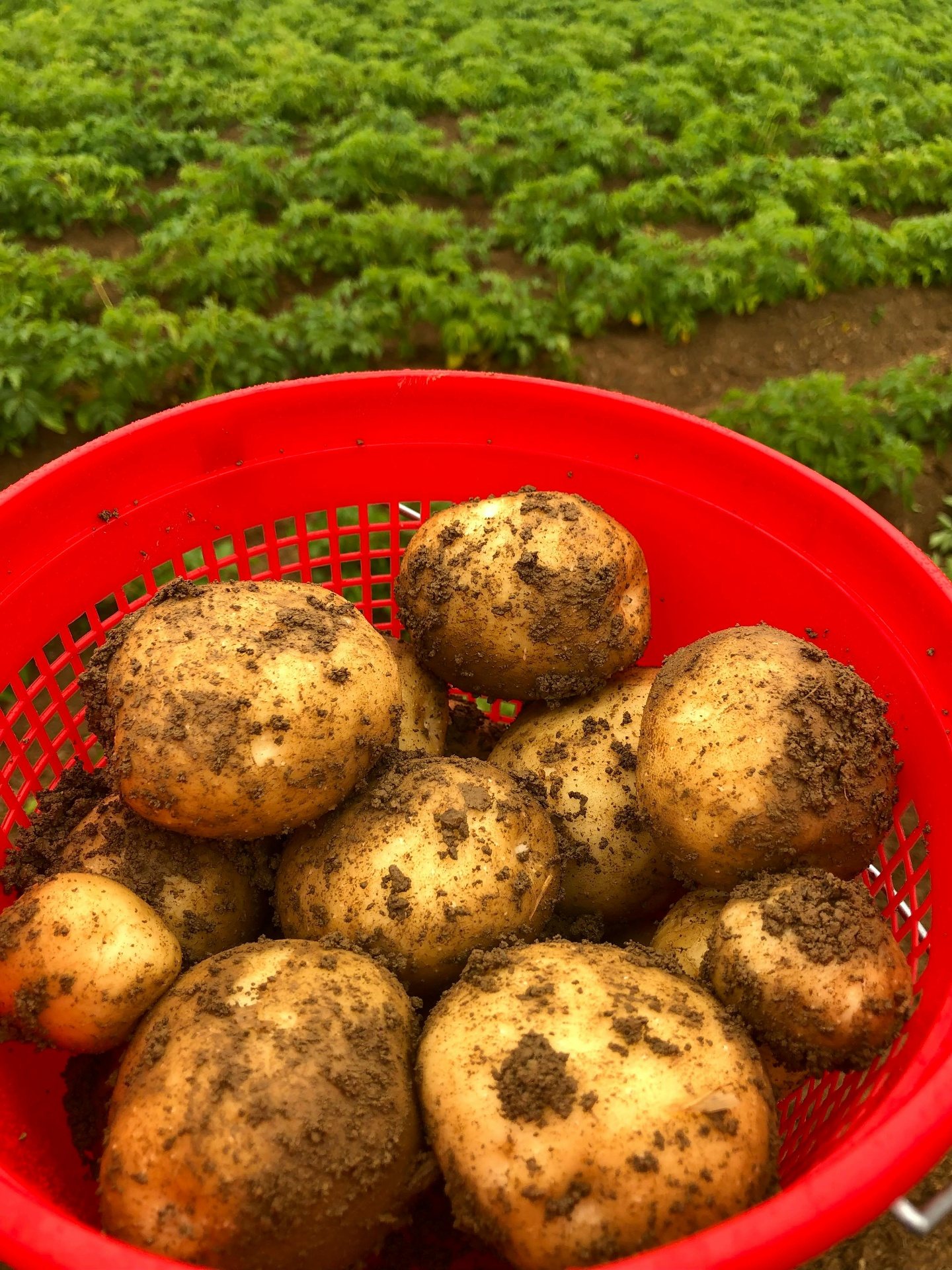
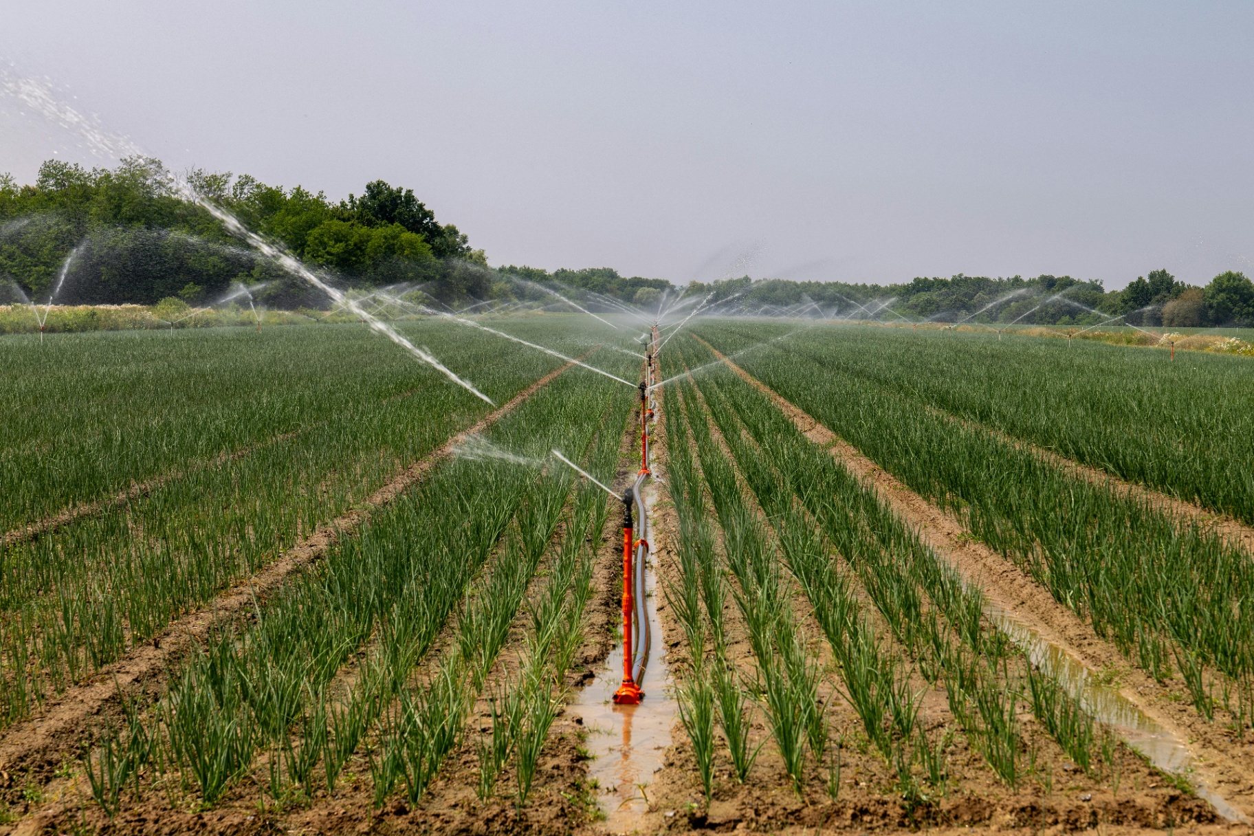
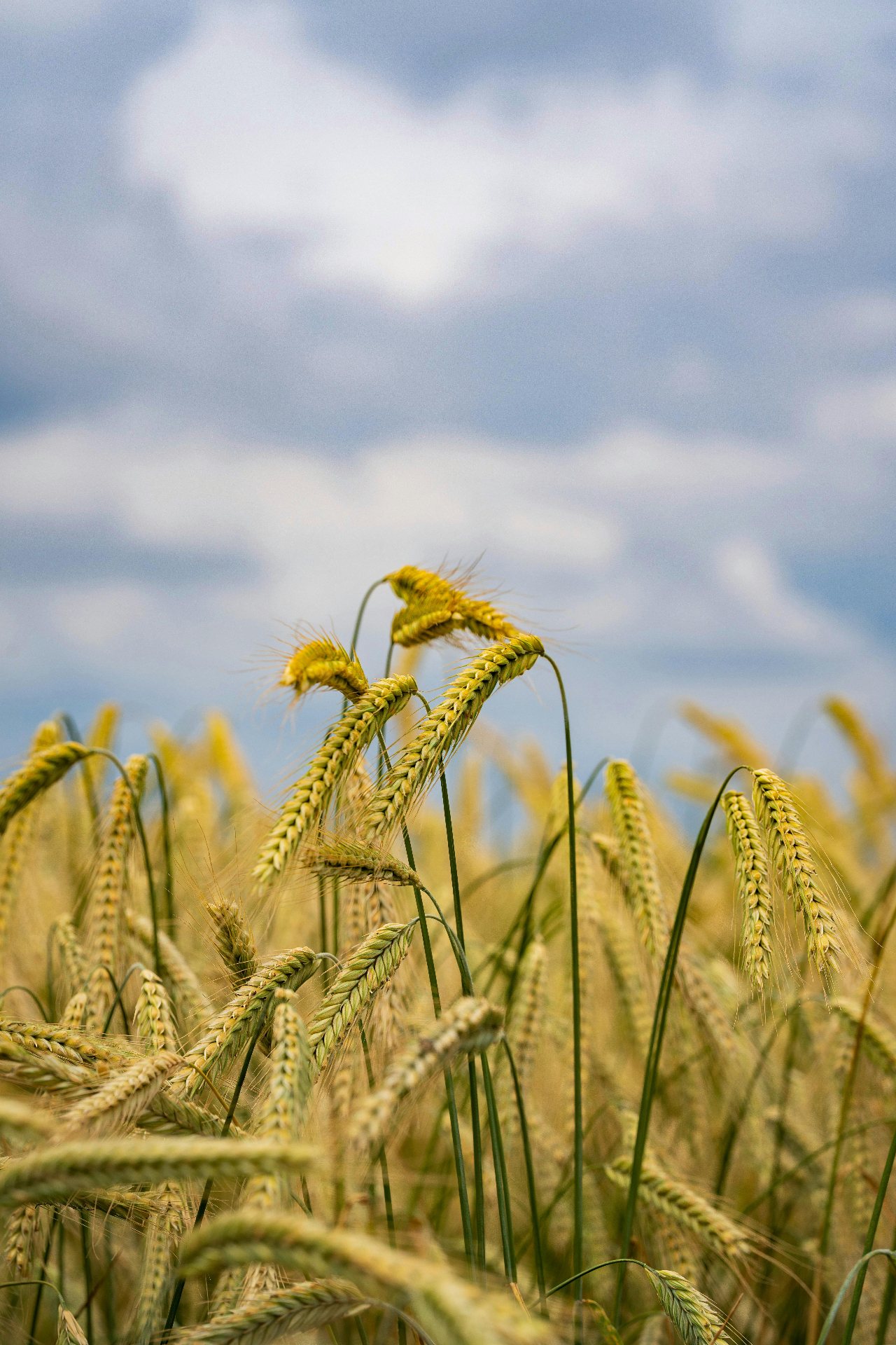
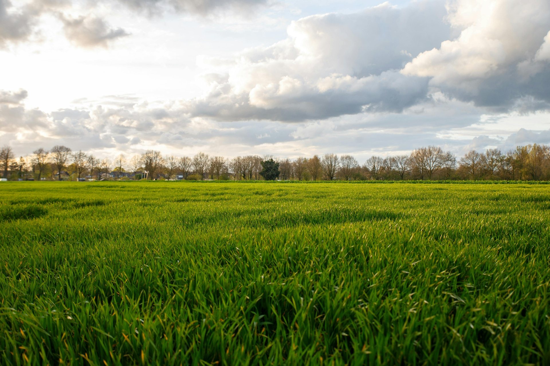
From sugar beets to grassland, Croptic works on the fields where crop protection costs matter most.
PRACTICALITIES
What you already have is enough.
You work as you are used to, and Croptic adapts to you, not the other way around. Nothing to install, nothing to convert.
A sprayer with GPS and section control
Section control, nozzle control or PWM, and a terminal that reads a task map (TC-GEO). In doubt, send us the make and model.
A drone
You fly yourself, or we connect you with a pilot from our network.
A browser
You work online, in your browser. Nothing to install.
Pay per hectare, when you scan
You pay per hectare, only when you scan. You are tied to nothing.
THEY USE IT
“We used 60% less product on our beets this year, with the same yield.”
Pieter V.
arable farmer (180 ha beets + potatoes)