Tell us what you want to do on the field.
Send your field through and tell us which crop is standing and which machine you spread with. Then we will say whether it can be done and what it costs.
Variable rate fertilising
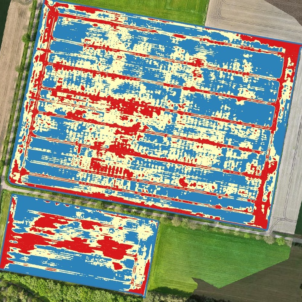
From the crop stand on the multispectral images we build a fertiliser map that you load into your spreader or sprayer.
The map
You get a base rate with zones around it. The zones come from the crop stand on the multispectral images, not from an average across the whole field.
Why the drone
We use an index on the red edge of the light spectrum. It keeps responding once the canopy has closed, where an ordinary green index saturates.
In practice
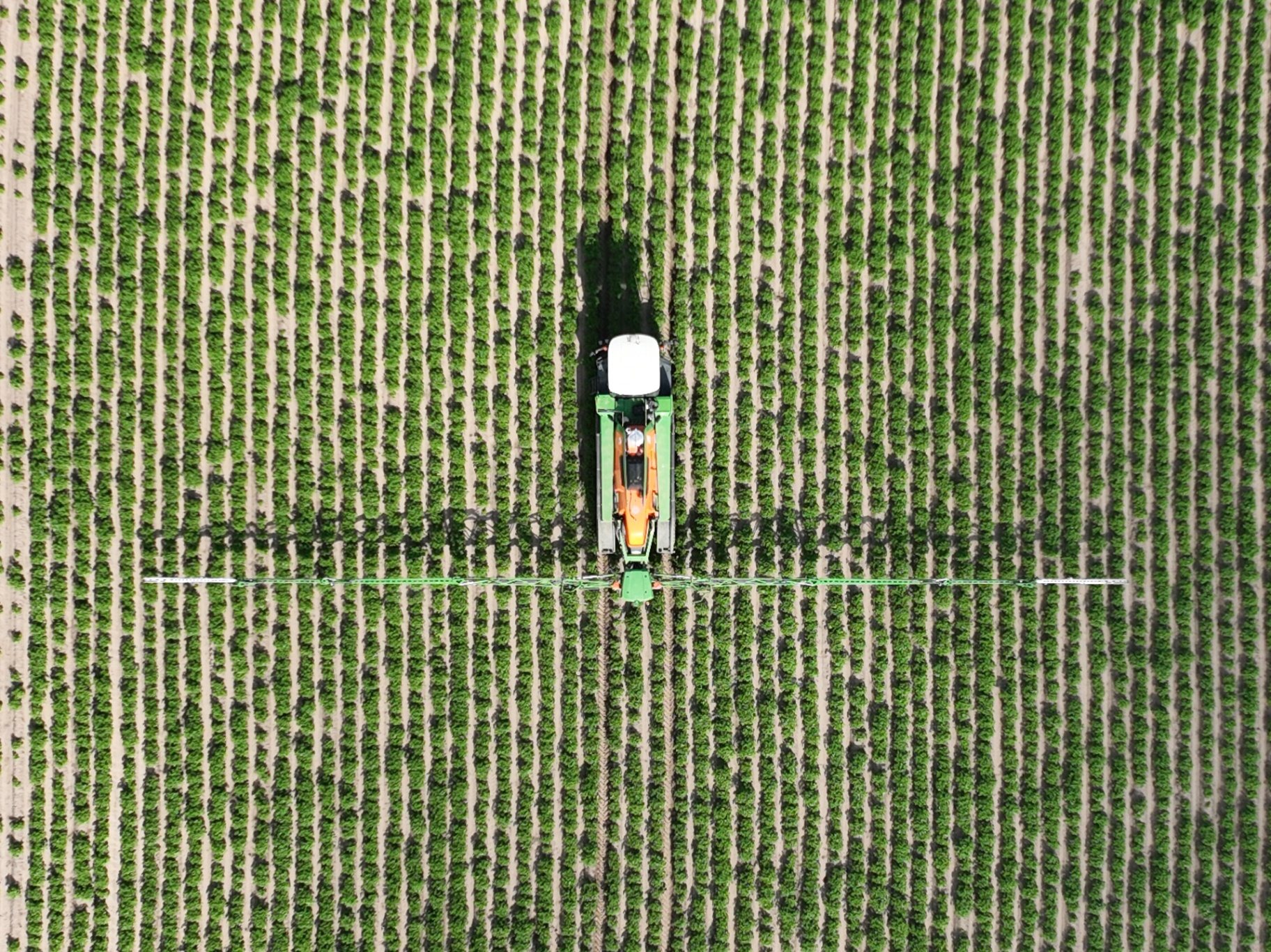
Croptic flies and delivers the map. You spread with your own machine. Tell us which terminal you use when you order, and we check compatibility before the flight.
Questions
Send your field through and tell us which crop is standing and which machine you spread with. Then we will say whether it can be done and what it costs.
Keep looking
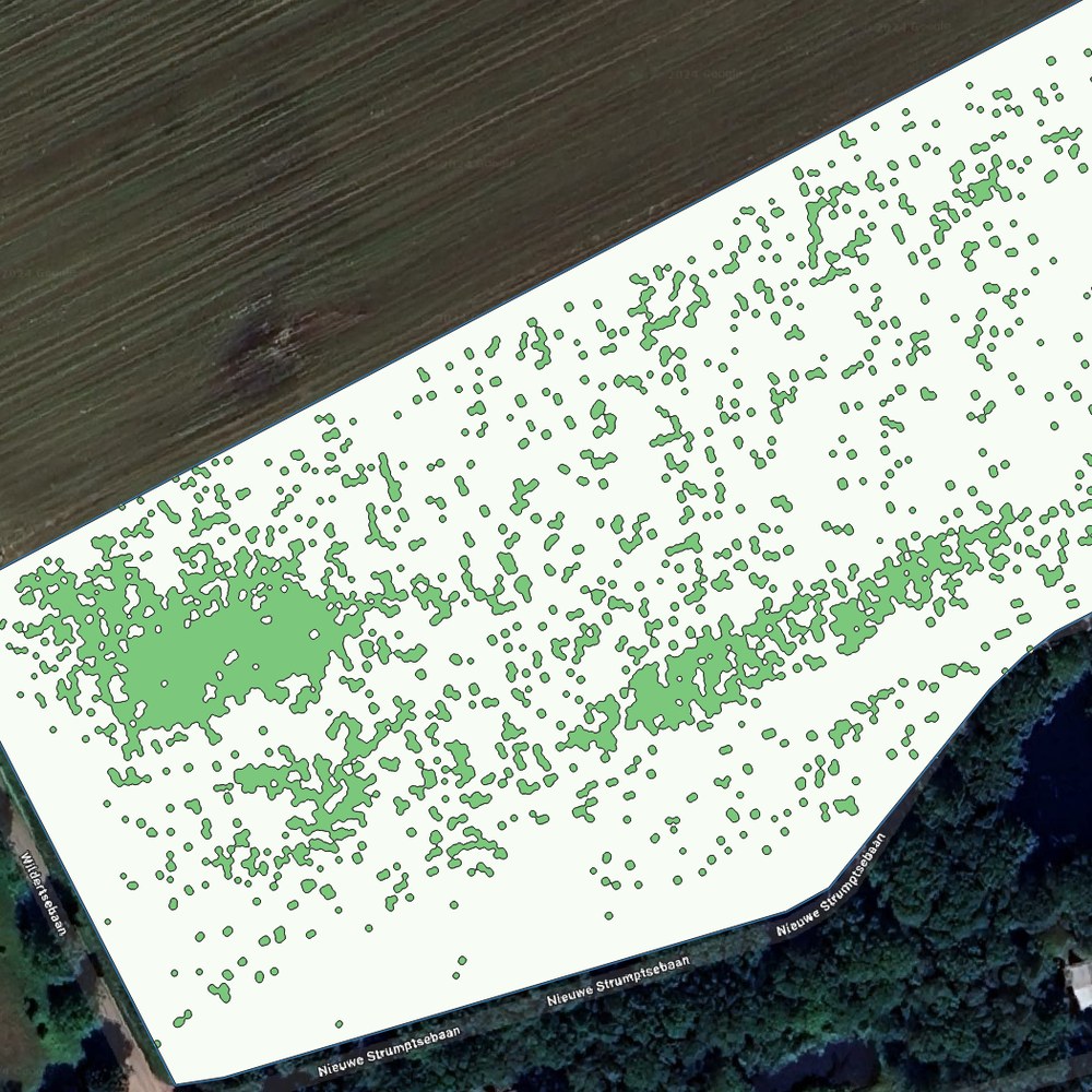
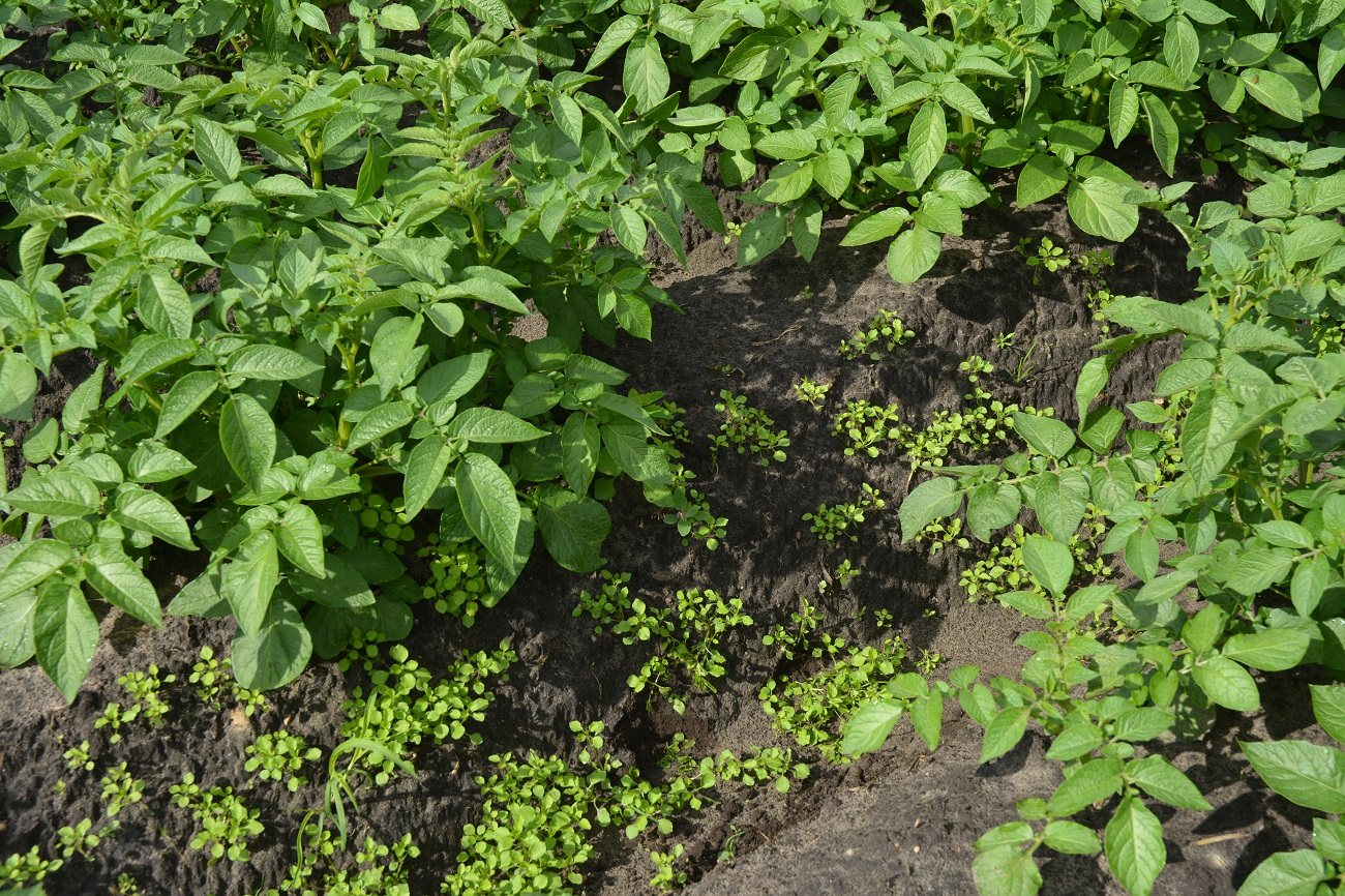
A weed map for your existing sprayer, so you only treat where weeds are standing.
More info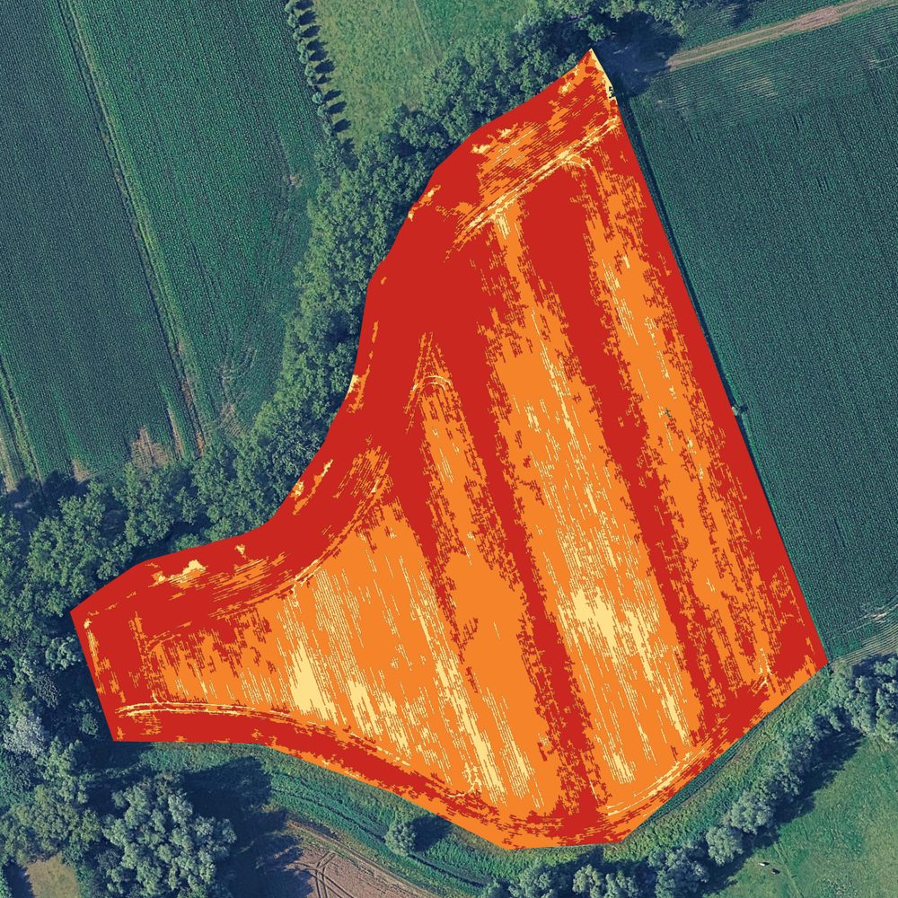
Kill haulm where it is still green, instead of covering the field again.
More info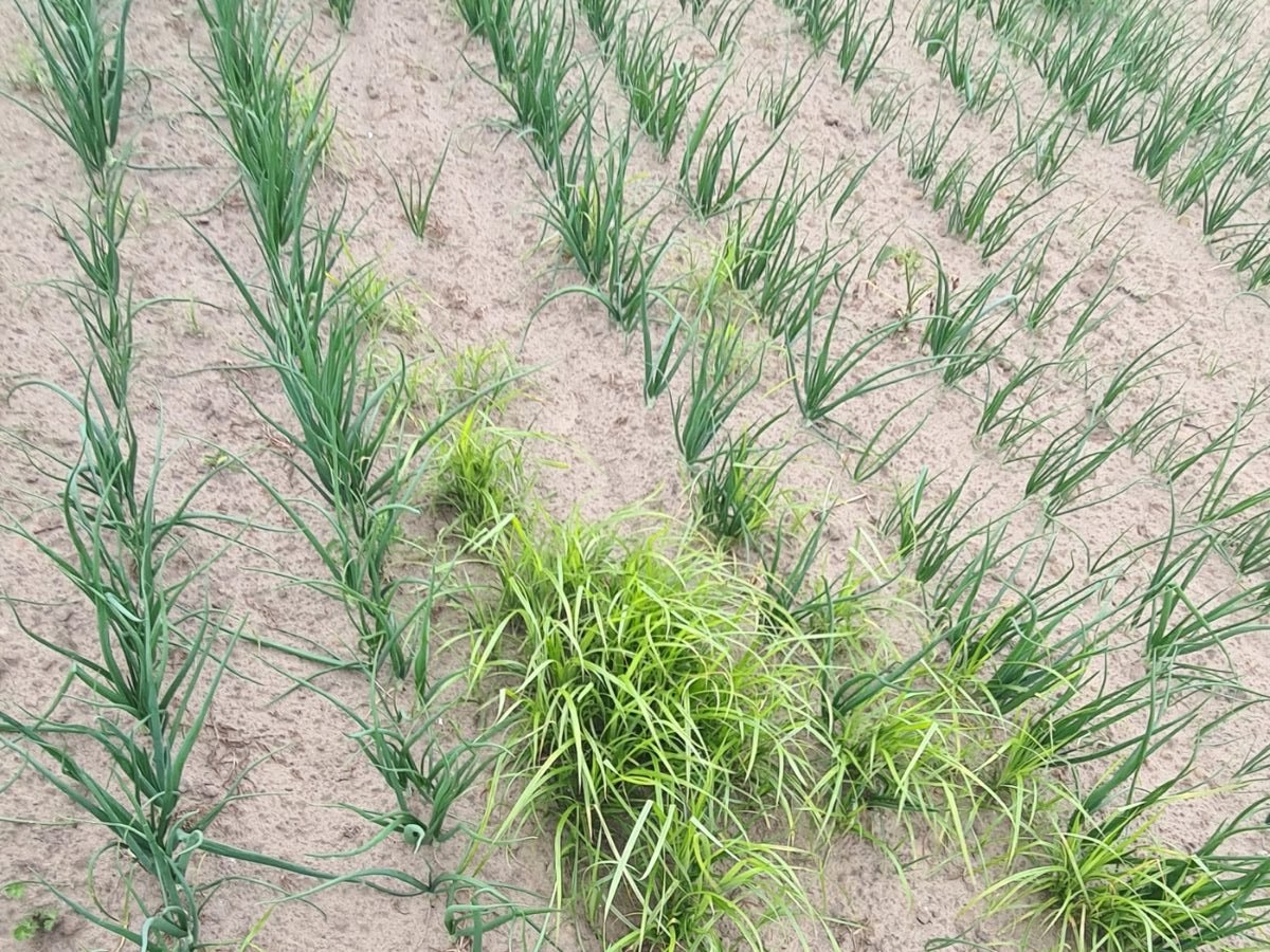
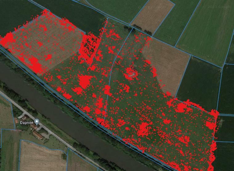
Yellow nutsedge, thistles and dock mapped, so you can deal with them precisely.
More infoWith your consent we measure how the site is used. Without consent we measure nothing. Read our privacy policy.