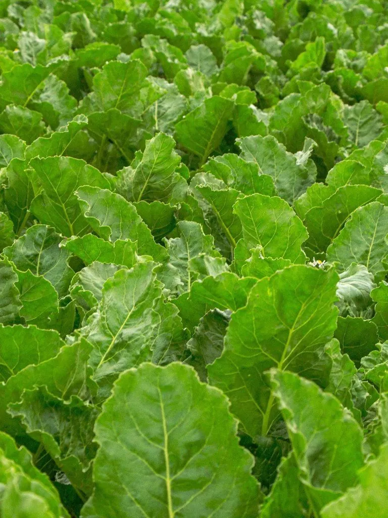
Sugar beet
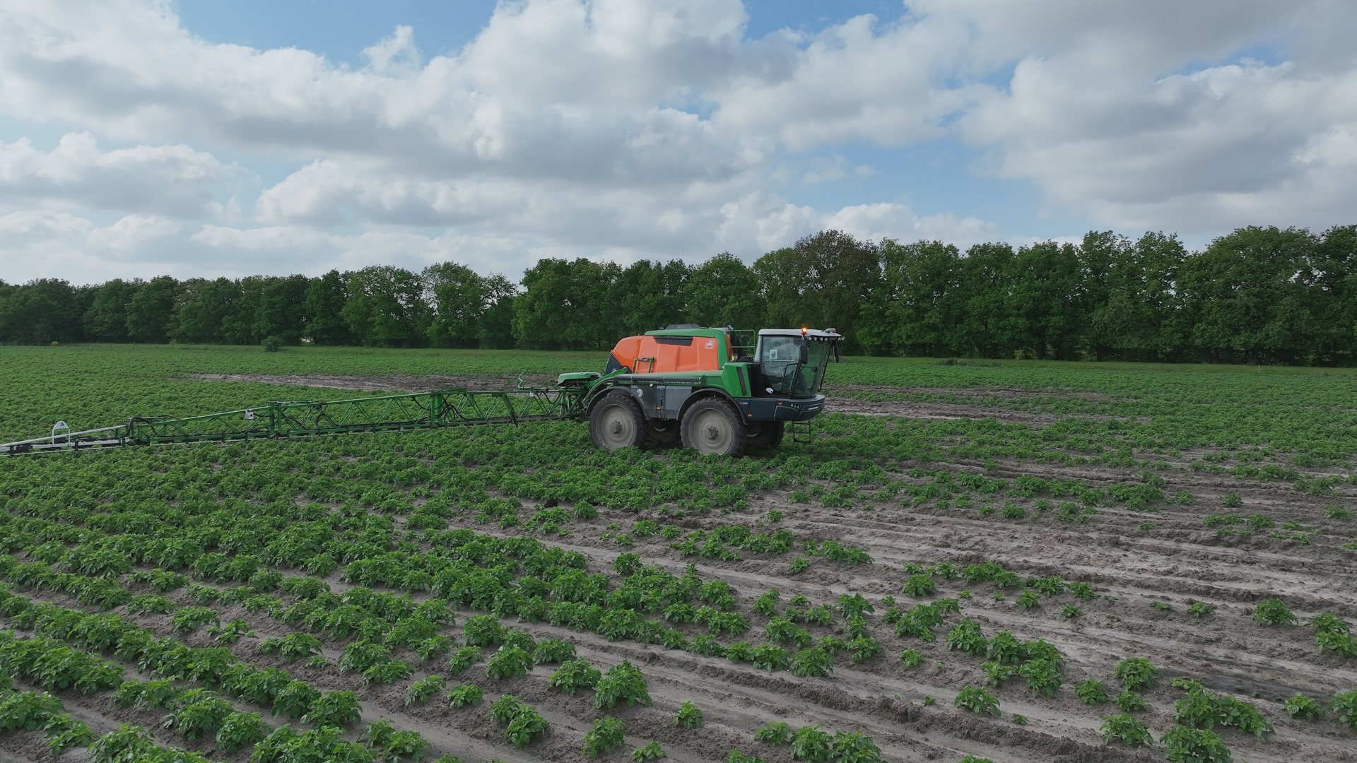
Potato volunteers and weeds between the rows, in the weeks before canopy closure.
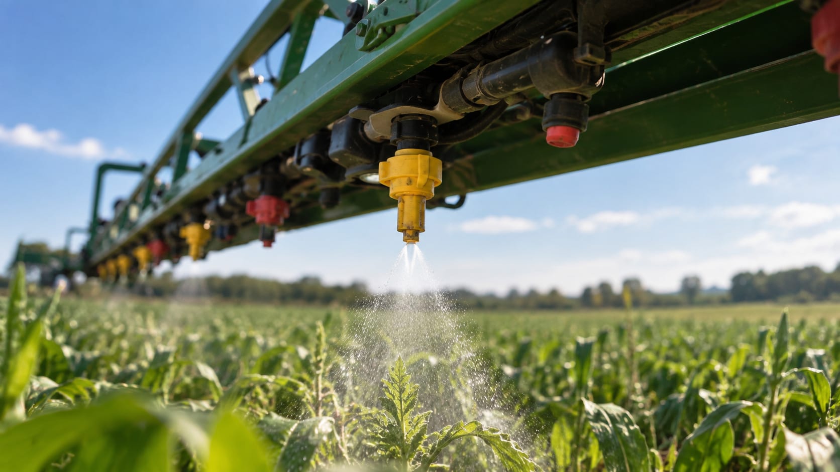
See this cropSpot spraying
A task map for the sprayer you already have, tuned per crop to the moment that counts.
The detection
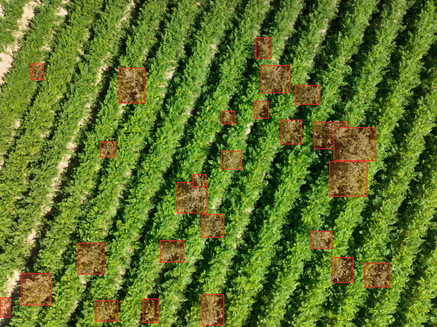
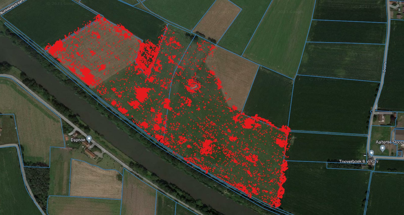
The drone flies your field and the AI recognises weeds from about 3 centimetres, with species recognition and georeferencing. After that every map passes Lander before it reaches you.
Your machine
You get the task map as a shapefile or ISOXML, in your terminal format. The grid follows your working width, so the map fits the machine you already own.
The timing
Weeds have to be visible from above. Once the canopy closes they disappear underneath it and detection no longer works. That is why we look at the window with you when you order.
Per crop
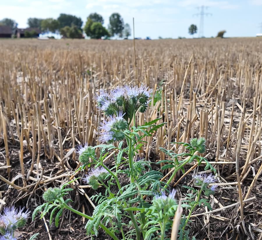
Potato volunteers and weeds between the rows, in the weeks before canopy closure.
See this crop


Questions
Send us your field and we will call you to plan the flight.
Keep looking
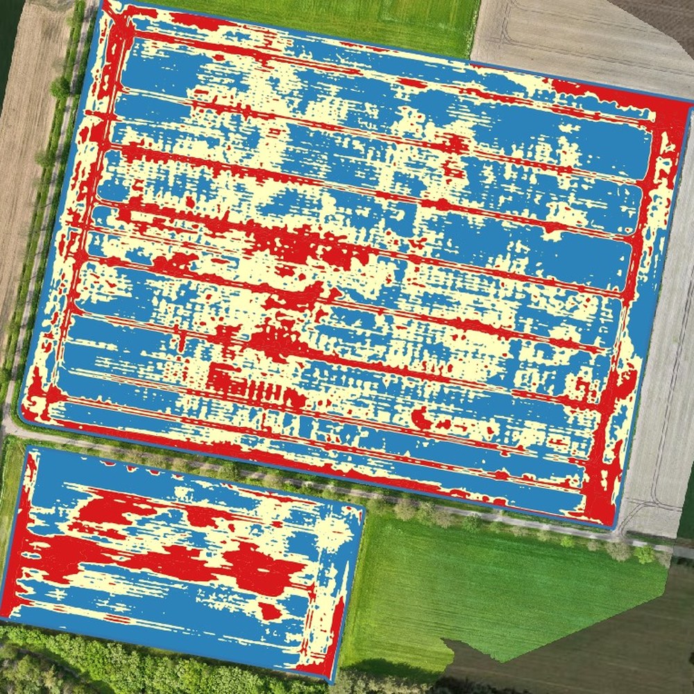
Fertiliser per zone in kilograms per hectare, from the crop stand on the images.
More info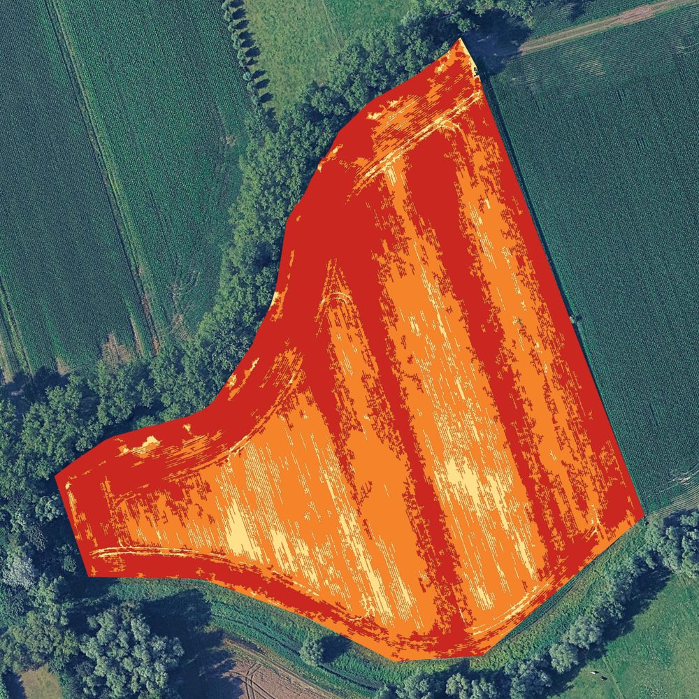
Kill haulm where it is still green, instead of covering the field again.
More info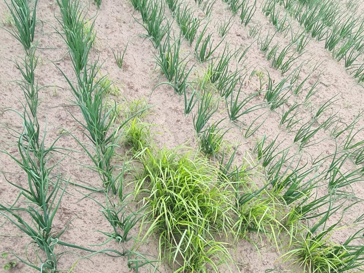
Yellow nutsedge, thistles and dock mapped, so you can deal with them precisely.
More infoWith your consent we measure how the site is used. Without consent we measure nothing. Read our privacy policy.