Tell us what is standing in your field.
Send your field through and tell us which weed you see. Then we will say whether we can map it.
Weed patches
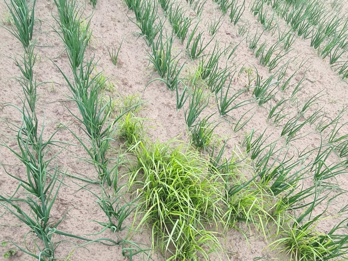
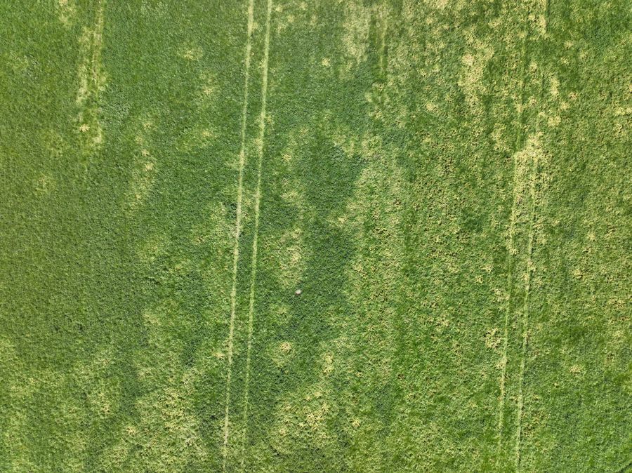
Some weeds grow in patches that get bigger every year. On the drone images those spots stand out between the crop.
The map
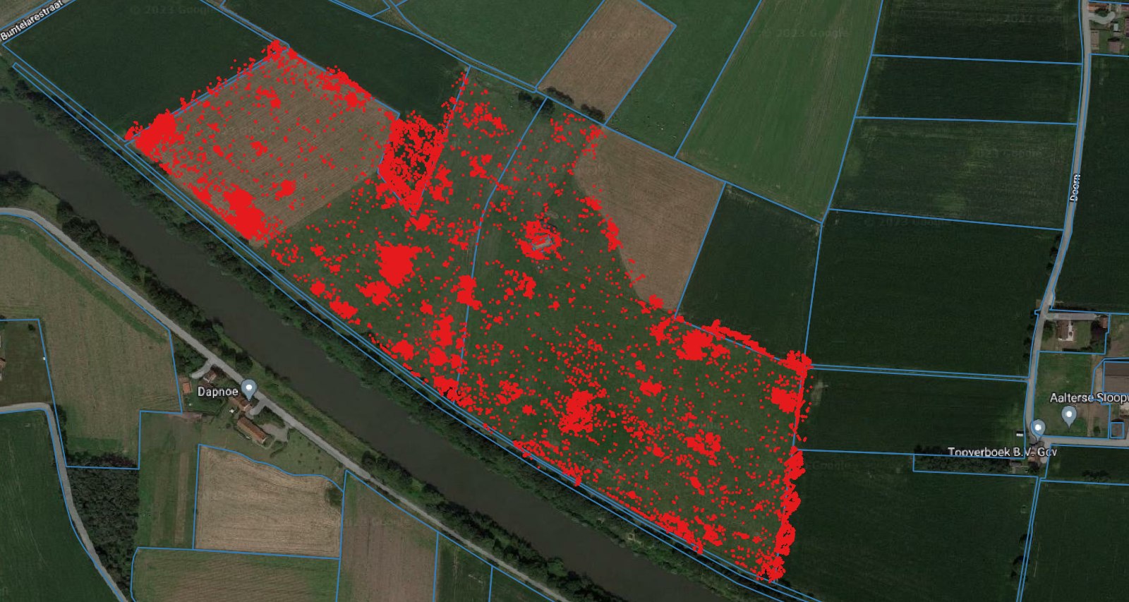
Some weeds grow in patches that get bigger every year. On the drone images those spots stand out between the crop, with their boundary and their area.
Why patches
Yellow nutsedge, thistles and dock spread out from one spot. What you leave this year stands wider next year, and soil movement drags it across the rest of the field.
What you do with it
In Flanders there is no reporting duty for yellow nutsedge, but there is a control duty and a ban on growing bulb, tuber and root crops on an infested field. In the Netherlands a growing ban applies to the infested part.
Questions
Send your field through and tell us which weed you see. Then we will say whether we can map it.
Keep looking
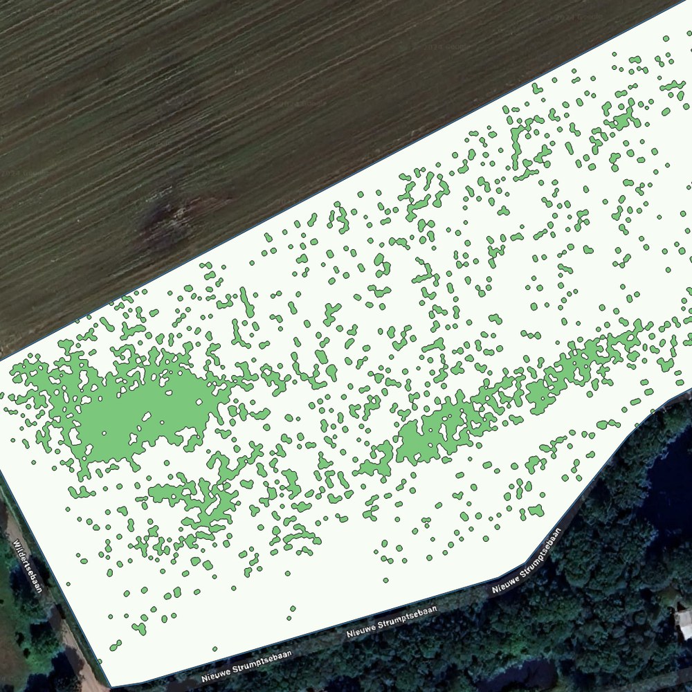
A weed map for your existing sprayer, so you only treat where weeds are standing.
More info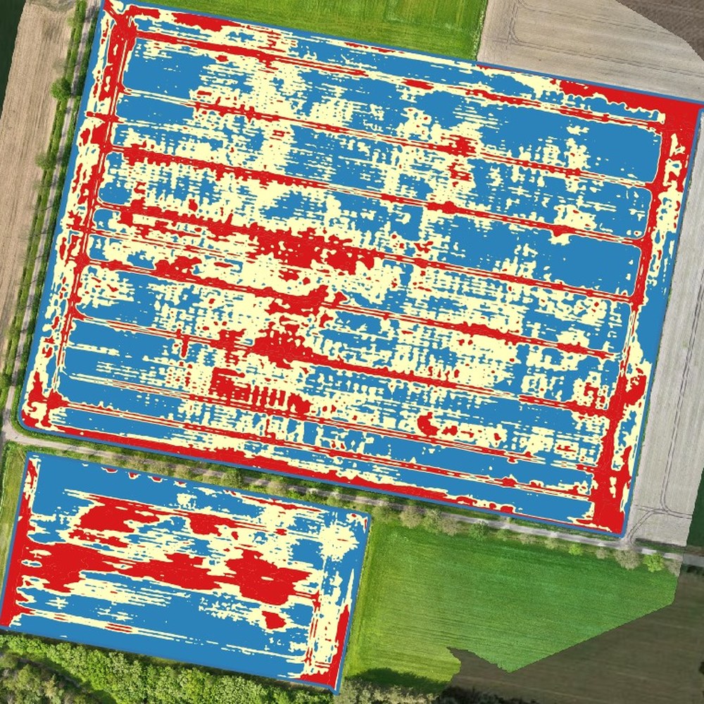
Fertiliser per zone in kilograms per hectare, from the crop stand on the images.
More info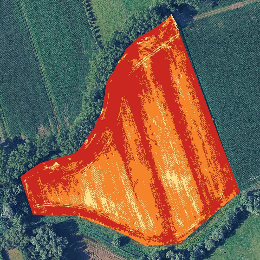
Kill haulm where it is still green, instead of covering the field again.
More infoWith your consent we measure how the site is used. Without consent we measure nothing. Read our privacy policy.