Haulm killing

Kill the haulm where it is still green.

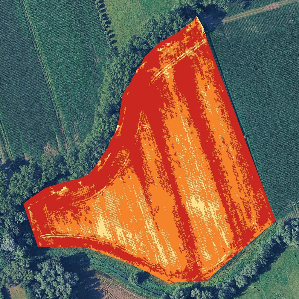
By harvest time part of the potato haulm has already died off. The drone sees which spots are still green.

The map

A map of what is still green.

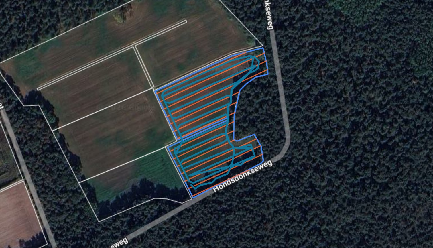
By lifting time part of the haulm has already died off. The drone sees which spots are still green, and the task map sprays only there instead of covering the whole field again.
  • Fields ripen unevenly, certainly where planting happened in two passes or where late varieties stand.
  • A spot that releases nitrogen again after a dry spell stays green longer.
  • Every map passes Lander before it reaches you.
A potato field where the haulm has partly died off.
A task map with the zones that are still green.

Why it matters

Since diquat went, one pass is often not enough.

Diquat could be used in Belgium until November 2019 and in the Netherlands until February 2020. What remains are contact products: only what gets hit dies off.
  • Research by BO Akkerbouw found that a vigorous crop cannot be killed off well enough with the permitted products.
  • For variable haulm killing, independent research in the Netherlands measured an average of 22 percent less product.
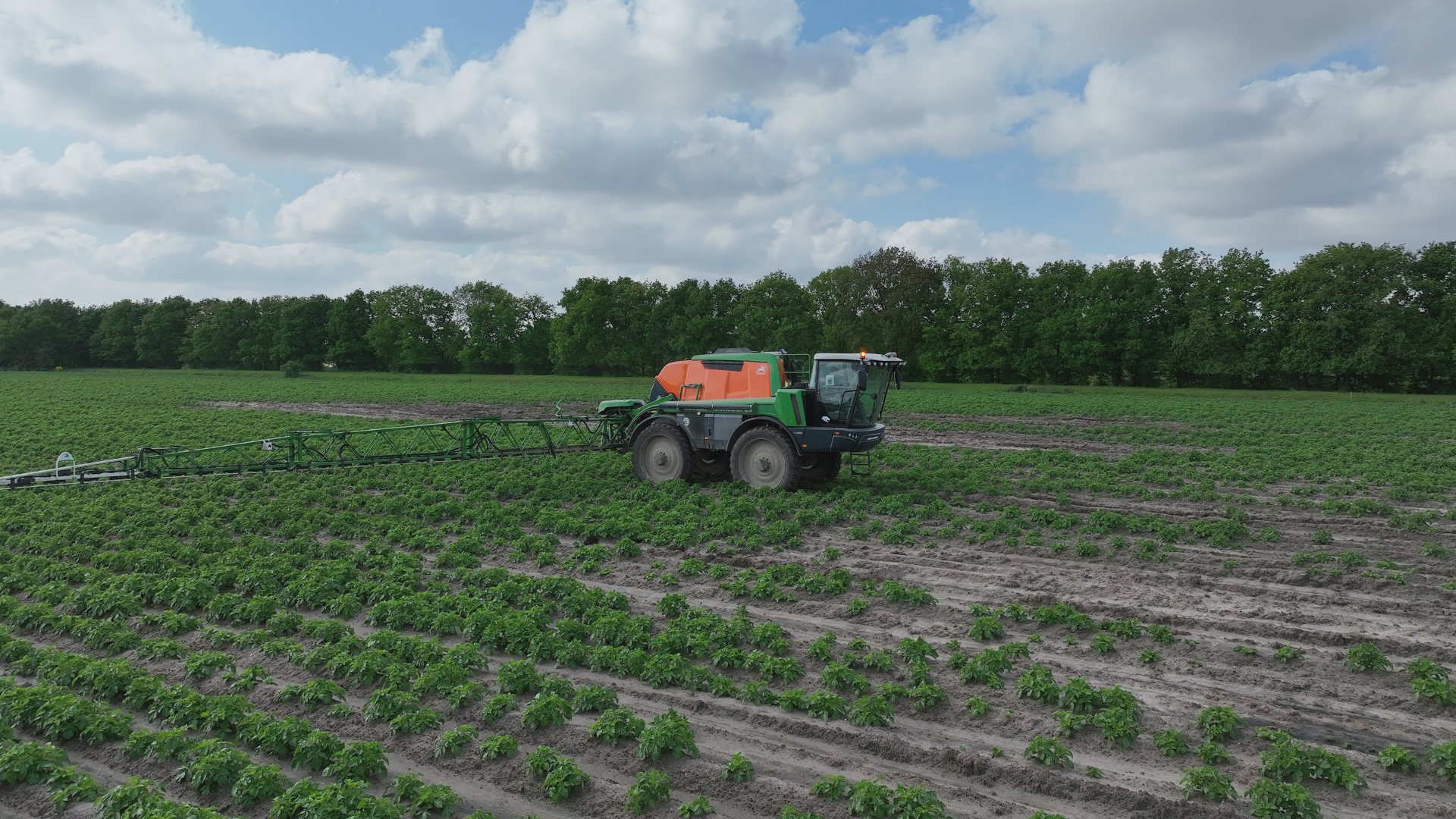
A field sprayer at work on a field.

The timing

Two to three weeks before lifting.

Count on two to three weeks between the first treatment and lifting. How much is still green at that first treatment determines what the second pass has to do.
  • Tell us when you want to lift and we plan the flight around it.
  • Your sprayer needs section control and has to read a task map.
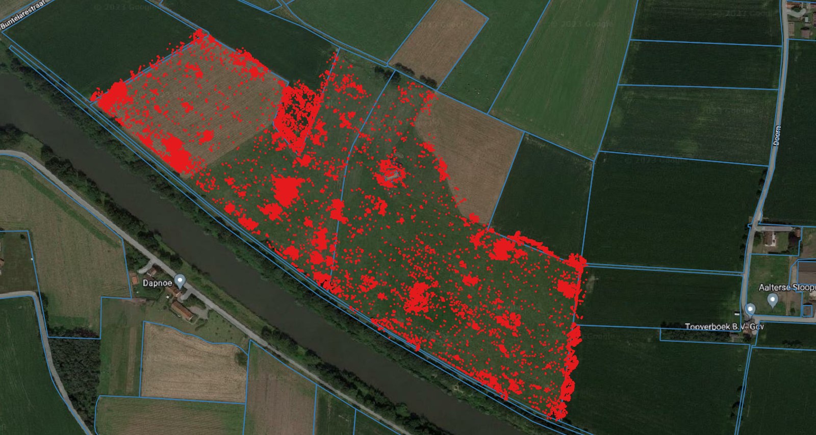
  • At the PCA demonstration day in Kruisem, a sprayer with pulsing nozzles carried out our zone map in a single pass.
A field with the task map laid over it.

Questions

Questions about haulm killing.

Tell us when you want to harvest.

Send your field through and tell us when you want to harvest. Then we plan the flight in time.

Keep looking
Our other services.

  • 01
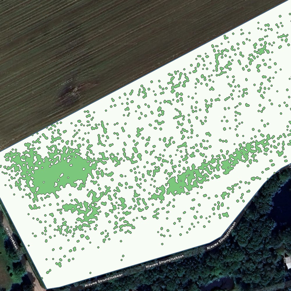
    Task map of a field: the green patches are the weed spots that get treated.

    Weed maps for your sprayer.

    A weed map for your existing sprayer, so you only treat where weeds are standing.

    More info
  • 02
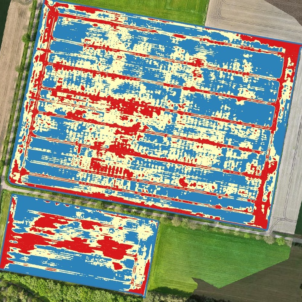
    VRA fertiliser map of a wheat field, with three zones in red, yellow and blue.

    Fertiliser per zone in kg per hectare.

    Fertiliser per zone in kilograms per hectare, from the crop stand on the images.

    More info
  • 03
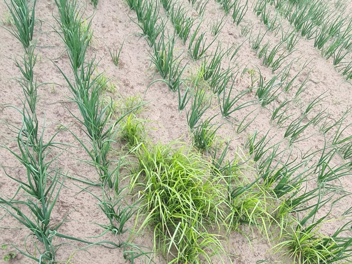
    Weed patches between the crop rows.

    Patches mapped before they spread.

    Yellow nutsedge, thistles and dock mapped, so you can deal with them precisely.

    More info